
For an area to be classified as forest, there must be a corresponding notification, and the area specified in the notification should constitute the forest cover
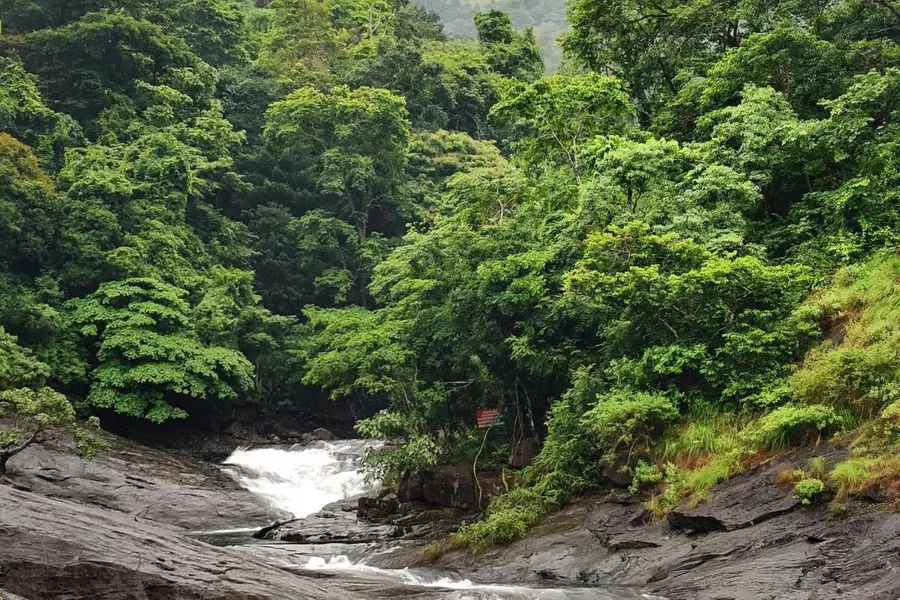
Kottayam: Kerala has landed in trouble by submitting multiple, conflicting figures on its forest cover to the Union Ministry of Environment, Forest and Climate Change. Forest cover is one of the most fundamental pieces of information required when identifying Ecologically Sensitive Areas (ESAs). Yet, over a 14-year period from 2012 to 2026, the state has provided seven different sets of figures.
The latest Kerala Forest Statistics, released in August 2026, states that forest land exists in 448 villages and puts the total forest area at 11,536.251 sq km. This effectively contradicts the Forest Department's earlier claim that forest cover in the 123 ESA villages alone stood at 9,107 sq km, indicating that the previous figure was incorrect.
Also Read

Around the time the Gadgil Committee report was released, the Kerala Forest Statistics 2012 put the state's forest cover at 11,309.47 sq km. This included 9,176.3026 sq km of reserved forest, 295.378 sq km of proposed reserved forest and 1,837.75 sq km of vested forest. However, these figures too lack supporting foundational data, raising questions over the accuracy of the measurements.
For an area to be classified as forest, there must be a corresponding notification, and the area specified in the notification should constitute the forest cover. Several such notifications were issued between 1800 and 1902. However, many of the areas covered by these notifications are now populated.
After the Kasturirangan report was released, the government reassessed the extent of forest cover. Along with appointing the Dr Oommen V Oommen Committee, the government constituted a panchayat-level committee comprising officials from the Forest, Revenue, Agriculture, Local Self-Government and Survey departments.
The committee prepared land data and maps for the 123 ESA villages, which were uploaded to the website of the Kerala State Remote Sensing and Environment Centre. According to these records, the 123 villages contained 7,595.67 sq km of forest and 887.38 sq km of forest plantations, taking the total forest area to 8,483.05 sq km.
However, in 2014, the Head of the Forest Department informed the government that the forest area in the 123 ESA villages was 9,993.7 sq km. No documentary evidence was provided to support this figure.
In June 2015, the Head of the Forest Department again wrote to the Secretary of the State Environment Department, stating that the forest cover in the 123 ESA villages was 9,107 sq km.
The panchayat-level committee, meanwhile, had identified only 7,129.57 sq km of forest in the 123 villages. To resolve the discrepancy, it was decided to conduct a GPS-based assessment of the area.
Based on the boundaries specified in the reserve notifications, the forest cover in the 123 villages was subsequently calculated at 9,741.4 sq km.
In another report, the Head of the Forest Department informed the Secretary of the Environment Department that the 9,741.4 sq km figure included encroachments, leased forest land, private estates, land assigned under the 1970 assignment rules to people who had been cultivating forest land before 1977, and 995.13 sq km falling under the Cardamom Hill Reserve.
Published: 15 Sept 2026, 10:28 am IST
Related Topics
Disclaimer: Kindly avoid objectionable, derogatory, unlawful and lewd comments, while responding to reports. Such comments are punishable under cyber laws. Please keep away from personal attacks. The opinions expressed here are the personal opinions of readers and not that of Mathrubhumi.