
The IMD has forecast heavy rain on September 4 across Delhi, Haryana, Chandigarh, Madhya Pradesh and several other states as a low-pressure system drives monsoon activity.
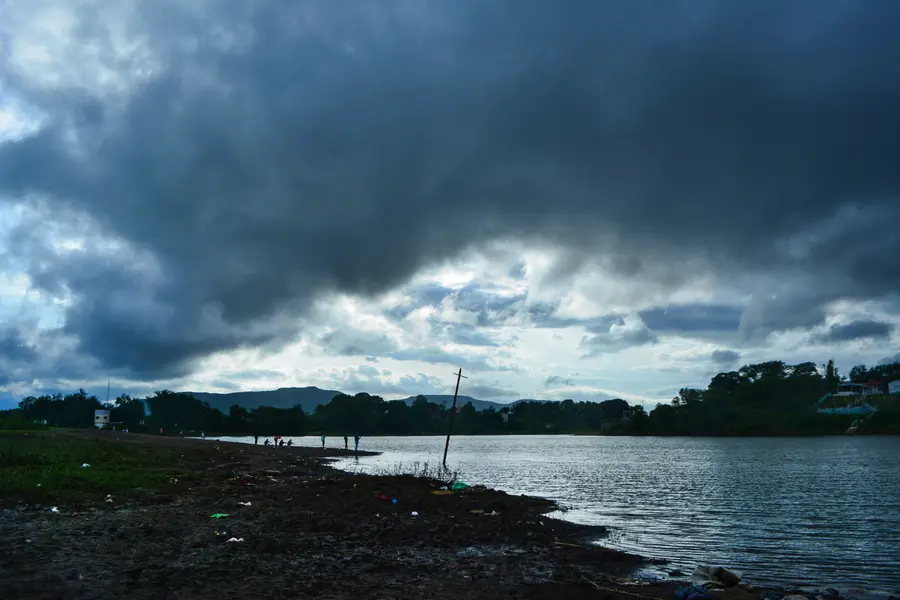
The monsoon is set to remain active across several parts of India on Friday, September 4, with the India Meteorological Department forecasting heavy rain in Delhi, Haryana, Chandigarh, Madhya Pradesh and several other states.
The IMD has forecast heavy rainfall at isolated places over Delhi, Haryana and Chandigarh on September 4. Punjab, Himachal Pradesh, Uttarakhand, Jammu and Kashmir, Ladakh, East Rajasthan and West Uttar Pradesh are also expected to experience rainfall.
Also Read

East Uttar Pradesh is likely to receive fairly widespread rain, while West Uttar Pradesh could see fairly widespread to widespread rainfall.
The forecast comes as a well-marked low-pressure area remains over northeast Madhya Pradesh and adjoining areas.
Low-pressure system to drive rainfall
The weather system is expected to move west-northwestwards across southern Uttar Pradesh and adjoining northern Madhya Pradesh during the next 24 hours. Its movement is likely to maintain rainfall activity over parts of central and northern India.
The IMD has also warned of a low to moderate flash-flood risk in some watersheds and neighbourhoods of East and West Uttar Pradesh and Madhya Pradesh until 11.30 am on September 4. The risk is higher in areas where the soil is already saturated after earlier rainfall.
Madhya Pradesh could see intense spells
Madhya Pradesh is expected to remain one of the main rainfall hotspots. The IMD has forecast heavy to very heavy rainfall at isolated places across the state.
The warning follows intense rainfall in East Madhya Pradesh on September 3. Rajnagar recorded 19 cm of rain, while Khajuraho received 18 cm.
The combination of further heavy rain and already saturated ground could increase the risk of waterlogging and localised flooding in vulnerable areas.
Northeast and east also under rain watch
Heavy rainfall is also expected in Arunachal Pradesh, Assam, Meghalaya, Bihar, Nagaland, Manipur, Mizoram and Tripura. Parts of West Bengal and Sikkim are also likely to receive heavy rain.
Thunderstorms accompanied by lightning are possible over several of these regions, adding another weather-related risk for residents and commuters.
Rain continues in western and southern India
Konkan and Goa are likely to continue receiving widespread rainfall. Parts of Gujarat, Maharashtra and Saurashtra and Kutch could see isolated to scattered showers.
Southern India is expected to see comparatively limited rainfall activity, although Coastal Karnataka could continue to receive fairly widespread to widespread rain.
Why September 4 rainfall matters
The latest forecast comes after repeated heavy spells in several parts of the country. With some regions already receiving substantial rainfall, additional downpours can quickly worsen waterlogging, flash-flood risks and disruption to transport.
For Delhi and neighbouring areas, the forecast means Janmashtami celebrations on September 4 could take place amid wet conditions, particularly during periods of heavier rainfall. The IMD’s warning for isolated heavy rain means rainfall intensity may vary significantly across locations.
Why this monsoon spell could be intense
The key driver is the well-marked low-pressure area over northeast Madhya Pradesh and nearby regions. Its expected west-northwestward movement towards southern Uttar Pradesh and northern Madhya Pradesh is likely to keep moisture and rainfall activity concentrated across central and northern India.
The immediate concern is not only heavy rainfall but the condition of the ground. Where soils are already saturated, even another short period of intense rain can increase runoff and raise the possibility of localised flooding.
For Delhi, Haryana, Uttar Pradesh and Madhya Pradesh, the September 4 forecast therefore points to another potentially disruptive monsoon day, with authorities and residents needing to remain alert in areas prone to waterlogging and flooding.
Published: 03 Sept 2026, 08:43 pm IST
ABOUT THE AUTHOR
Disclaimer: Kindly avoid objectionable, derogatory, unlawful and lewd comments, while responding to reports. Such comments are punishable under cyber laws. Please keep away from personal attacks. The opinions expressed here are the personal opinions of readers and not that of Mathrubhumi.