Cyclone Ditwah is expected to lose strength and downgrade into a deep depression by Sunday night, according to the IMD, even as heavy rain and strong winds continue along the Tamil Nadu–Puducherry coast
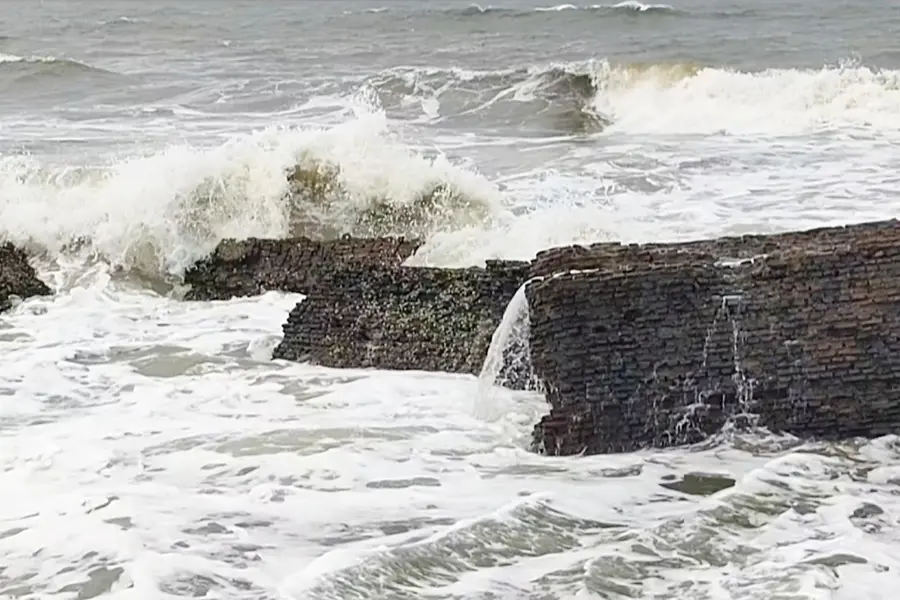
New Delhi: The India Meteorological Department (IMD) on Sunday stated that Cyclone Ditwah is moving northwards along the Tamil Nadu-Puducherry coast. At 11:30 am, the cyclone was positioned over the southwest Bay of Bengal, about 100 km east-southeast of Cuddalore and Puducherry, and nearly 170 km south-southeast of Chennai.
The minimum distance of the centre of the cyclone from the north Tamil Nadu-Puducherry coasts is around 80 km.
How close will the cyclone move to the coastline?
According to the IMD, the cyclone is expected to maintain its northward movement, remaining close and almost parallel to the North Tamil Nadu-Puducherry coast over the next 24 hours. By Sunday evening, it is forecast to come within 30 km of the coastline.
The cyclonic storm is being continuously tracked by the Doppler Weather Radars at Karaikal and Chennai.
"It is very likely to move nearly northwards parallel to North Tamil Nadu-Puducherry coasts during next 24 hours. While moving northwards the cyclonic storm will be centered over southwest Bay of Bengal within a minimum distance of 30 km from the Tamil Nadu-Puducherry coastline by evening of today, the 30th November," the release said.
What weather can Chennai and nearby regions expect?
Chennai is anticipated to experience a cloudy sky with heavy to very heavy rain on Sunday, followed by light to moderate rain on 1 December. Light to moderate rainfall is expected at isolated locations in Tamil Nadu and the Puducherry-Karaikal region between 2 and 6 December.
What warnings have been issued for fishermen?
The IMD has released a major advisory instructing fishermen not to venture into the sea along and off the Tamil Nadu-Puducherry coast, the Gulf of Mannar, the Comorin coast, the southwest and west-central Bay of Bengal, and the south Andhra Pradesh coast.
Gale winds reaching 60 to 80 kmph, with gusts up to 90 kmph, are likely. Wind speeds are expected to reduce slightly to 45 to 55 kmph on 1 December, with gusts up to 65 kmph.
Which districts face the highest risk?
The IMD has issued a red alert for multiple north Tamil Nadu districts, warning of extremely heavy rain in Tiruvallur and Ranipet on Sunday. Heavy to very heavy rainfall is also expected in Chennai, Kancheepuram, Chengalpattu and Vellore. Isolated heavy rain is likely in Tirupattur, Tiruvannamalai, Villupuram and Puducherry.
Published: 30 Nov 2025, 08:49 pm IST
Related Topics
Subscribe to our Newsletter
Disclaimer: Kindly avoid objectionable, derogatory, unlawful and lewd comments, while responding to reports. Such comments are punishable under cyber laws. Please keep away from personal attacks. The opinions expressed here are the personal opinions of readers and not that of Mathrubhumi.
