
The Himalayas were once underwater, and the Strait of Hormuz is what remains of that same ocean
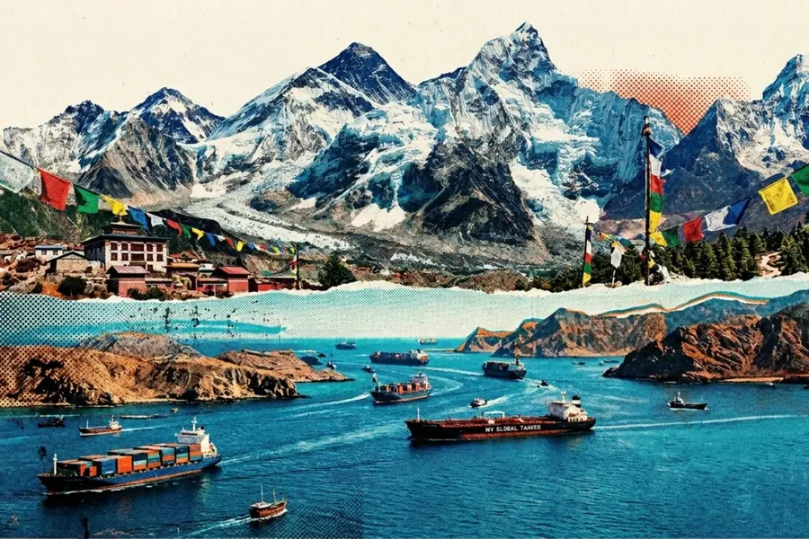
At first glance, the towering Himalayas and the narrow Strait of Hormuz seem to belong to completely different worlds. But what if the highest mountains on Earth and one of the world’s busiest sea passages shared the same origin? It may sound unlikely, but both are connected by a fascinating geological story that began millions of years ago with a vanished ocean.
A lost ocean called the Tethys Sea
The strange connection between these two places begins with an ancient body of water known as the Tethys Sea.
To understand how it all fits together, imagine the Earth around 250 million years ago. The continents we recognise today did not exist in their current form. Instead, there were two massive landmasses: Laurasia in the north and Gondwana in the south. Between them stretched the vast Tethys Sea.
Over time, the Earth’s tectonic plates began shifting slowly but powerfully. The Arabian Plate started moving northwards and eventually collided with the Eurasian Plate. As this happened, large portions of the Tethys Sea were squeezed and gradually disappeared between these enormous landmasses.
How the Strait of Hormuz was formed
This collision of plates had two major outcomes.
First, it led to the formation of the Zagros Mountains in present-day Iran, created as the Earth’s crust crumpled under intense pressure.
Second, it narrowed the remaining portion of the sea into a tight channel. This narrow passage is what we now know as the Strait of Hormuz.
So, the strait is not simply a gap between land. It is actually the last visible remnant of a once vast ocean, compressed over millions of years into a narrow exit between the Persian Gulf and the Arabian Sea.
A similar story in the Himalayas
Shift your attention to India and the Himalayas.
Around 50 to 40 million years ago, the Indian Plate began colliding with the Eurasian Plate. Unlike oceanic plates, which usually slide beneath each other, both of these were thick continental plates. Instead of sinking, they crumpled and pushed upwards.
What lay trapped between them was the floor of the Tethys Sea.
Layer upon layer of marine sediment, including limestone, shells, and ancient seabed deposits, was compressed, folded, and lifted upwards. Over time, this process created the Himalayas.
This is why, even today, marine fossils can be found high up in these mountains. Remarkably, the rocks at the top of Mount Everest were once part of the ocean floor.
One ocean, two very different outcomes
The connection between the Strait of Hormuz and the Himalayas becomes clearer when viewed on a larger geological scale.
The Tethys Sea did not vanish all at once. Its closure happened gradually across different regions over tens of millions of years.
In the western region, the collision involving the Arabian Plate narrowed the sea into what eventually became the Strait of Hormuz.
In the eastern region, the Indian Plate’s collision lifted the seabed upwards, forming the Himalayas.
Why this story is so fascinating
Think about it. In one place, the remains of this ancient ocean became a narrow and strategically important waterway.
In another, it turned into the tallest mountain range on Earth. It is a reminder that the Earth we live on is constantly changing. What looks permanent today was once something entirely different. And sometimes, the most distant places are connected in ways we never expect.
Published: 15 Apr 2026, 03:50 pm IST
Related Topics
Disclaimer: Kindly avoid objectionable, derogatory, unlawful and lewd comments, while responding to reports. Such comments are punishable under cyber laws. Please keep away from personal attacks. The opinions expressed here are the personal opinions of readers and not that of Mathrubhumi.
