
Super Typhoon Sinlaku unleashes 42-foot waves and 170 mph winds near Saipan, sparking emergency warnings.
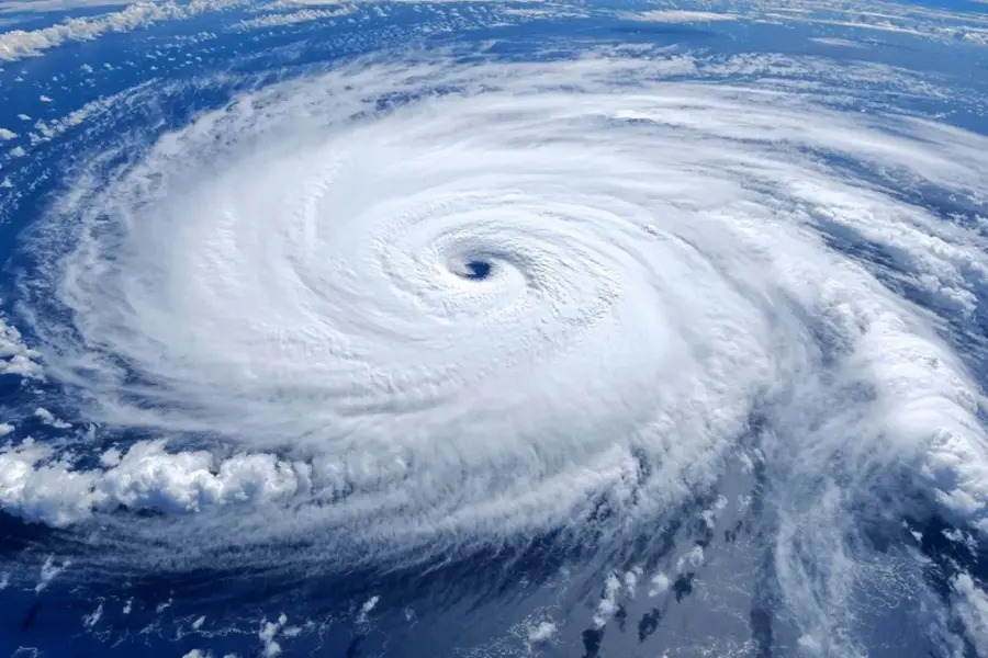
A powerful and rapidly intensifying weather system, Super Typhoon Sinlaku, has unleashed massive 42-foot waves across parts of the Mariana Islands, signalling the arrival of one of the most dangerous storms of 2026.
Watch the clipping below:
According to weather trackers and satellite data, the typhoon generated waves reaching up to 12.8 metres (42 feet) near Saipan, accompanied by destructive winds exceeding 170 mph (273 km/h), equivalent to a Category 5 hurricane.
The storm, currently the strongest on Earth this year, is bearing down on the Northern Mariana Islands, including Saipan, Tinian, and Rota, where tens of thousands of residents are bracing for impact.
Videos circulating online show towering walls of water crashing into coastlines, flooding low-lying areas, and battering infrastructure.
Residents have been urged to seek immediate shelter, with warnings stressing that conditions will worsen as the storm approaches landfall.
Meteorological agencies have issued multiple alerts for the region, warning of life-threatening storm surge, flash flooding, landslides, and destructive winds. Rainfall totals are expected to exceed 300 mm, significantly increasing the risk of flooding and mudslides.
Sinlaku formed earlier this month over Micronesia and intensified at an alarming rate, evolving from a tropical storm into a super typhoon within days due to highly favorable ocean and atmospheric conditions.
While Guam is likely to avoid a direct hit due to a slight shift in the storm’s path, it is already experiencing heavy rainfall and tropical storm-force winds. Authorities have shut down businesses and urged residents to stay indoors as a precaution.
Forecasts indicate that Sinlaku could make landfall over Saipan or Tinian as a Category 4 or 5-equivalent storm, raising fears of widespread damage, prolonged power outages, and severe disruption to essential services.
Experts have also flagged the unusual timing of the storm, occurring in April, well before the typical typhoon season, as a worrying sign of increasingly volatile weather patterns linked to warming ocean temperatures.
As the typhoon continues its path through the western Pacific, authorities are urging residents to remain in reinforced shelters and avoid coastal areas, with conditions expected to remain dangerous over the coming days.
Published: 14 Apr 2026, 11:21 am IST
Related Topics
Disclaimer: Kindly avoid objectionable, derogatory, unlawful and lewd comments, while responding to reports. Such comments are punishable under cyber laws. Please keep away from personal attacks. The opinions expressed here are the personal opinions of readers and not that of Mathrubhumi.
