
India’s proposed 11,200 MW Siang Upper Multipurpose Project in Arunachal Pradesh faces renewed scrutiny over earthquake safety, community displacement and downstream risks following the introduction of a new seismic Zone VI classification in the country’s revised earthquake-hazard framework. The project remains at the pre-feasibility survey stage, with its final dam site yet to be identified.
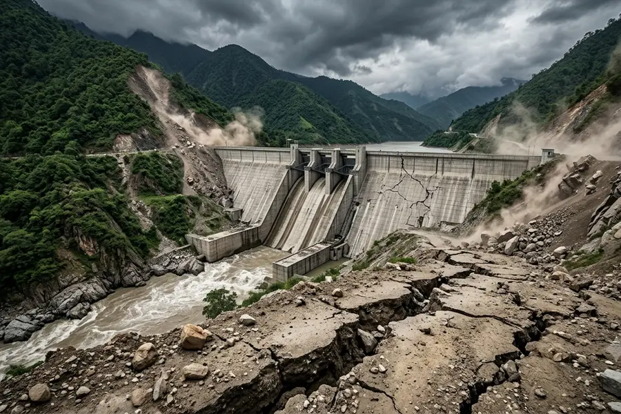
Upper Siang, Arunachal Pradesh: The proposed 11,200 MW Siang Upper Multipurpose Project (SUMP) has run into a central technical and social question: can one of India’s largest planned hydropower reservoirs be safely built in a region now classified under the country’s highest earthquake-hazard category?
Under the Bureau of Indian Standards’ revised seismic map, released with the Earthquake Design Code 2025, almost the entire Himalayan arc -- including Arunachal Pradesh -- has been placed in the newly created Zone VI, the highest seismic-hazard category. The earlier 2016 map had placed the Northeast, including Arunachal Pradesh, in Zone V, then the highest category.
The reclassification does not, by itself, establish that the SUMP will be unsafe. But it materially raises the stakes for dam design, reservoir-induced seismicity assessment, downstream evacuation planning and the reliability of rehabilitation and disaster-response arrangements for communities living along the Siang.
What Zone VI means
The new BIS framework divides India into five seismic zones -- II, III, IV, V and VI -- replacing the earlier four-zone classification. Zone VI is a new, ultra-high hazard category based on probabilistic seismic hazard assessment, which estimates both the likelihood and intensity of ground shaking.
The Himalayan arc, from Jammu and Kashmir and Ladakh through Himachal Pradesh, Uttarakhand, Sikkim and Arunachal Pradesh, has been placed in this zone. The Andaman and Nicobar Islands are also included.
For Arunachal Pradesh, the change is not merely symbolic. Earlier scientific assessments under the IS 1893:2016 framework already placed the Northeast in Zone V, with peak ground acceleration values in Arunachal ranging from 0.334g to 0.692g in one regional study; about 51 per cent of the state’s area was classified as facing very high seismic hazard.
The project and its scale
SUMP is proposed on the Siang river, a major tributary of the Brahmaputra, and is envisioned as an 11,200 MW multipurpose hydropower project to be developed by the state-run NHPC. It is currently at the pre-feasibility survey stage; the final dam site has not been identified.
The project is being projected by the Centre as strategically important amid China’s upstream hydropower development on the Yarlung Tsangpo. But for the Adi communities of the Siang valley, the immediate issues are more local: land, livelihood, culture and safety.
Why it matters locally
The proposed reservoir could inundate villages, farmland, forests and culturally significant sites. Community organisations estimate that around 27 Adi-inhabited settlements could face submergence or severe disruption, while broader estimates cited by local groups place the number of directly or indirectly affected people at between one lakh and 1.5 lakh.
These figures remain contested. A development and livelihood programme earlier prepared for the project covered 26 villages in Siang and Upper Siang districts and approximately 10,000 people, half of them women, for resettlement-linked support. The gap between official planning estimates and community estimates is itself a major source of distrust.
The Siang sustains agriculture, cattle grazing and daily livelihood needs in the valley. Residents fear that submergence of ancestral land and paddy fields would not merely relocate families but permanently alter a river-based agro-ecological way of life.
Seismic risk is not an abstract concern
The Eastern Himalaya is one of the world’s most seismically active regions. The proposed project area lies in a biodiversity-rich, tectonically fragile landscape where large dams must account for strong ground motion, active faults, slope instability and the possibility of reservoir-triggered seismicity.
A research by the Manohar Parrikar Institute for Defence Studies and Analyses has noted that filling a large reservoir can increase stress and water infiltration along fault lines, potentially inducing seismic events. It also warned that any structural failure could have catastrophic downstream consequences.
For local residents, the concern is therefore twofold: the dam must withstand a major earthquake, and even a dam that remains structurally intact could alter flood behaviour, sediment flow and emergency response requirements downstream.
What must be established
A credible safety case for SUMP would require at least four things:
* A site-specific seismic hazard assessment based on the updated Zone VI framework, local fault mapping and probabilistic ground-motion modelling.
* A dam-break and inundation study identifying villages, roads, bridges and evacuation routes at risk in a worst-case failure scenario.
* Independent review of reservoir-induced seismicity, slope stability and sediment-management risks.
* Transparent consultation with affected Adi communities before surveys, land acquisition or construction decisions.
Protest and trust deficit
Opposition has intensified as survey activity has advanced. The Adi Bane Kebang-United has alleged that nearly 80 per cent of families in affected villages oppose the project and has demanded that pre-feasibility studies not proceed without community consent.
Residents have also objected to what they describe as a heavily secured survey process, with reports of arrests of anti-dam activists adding to tensions.
The Arunachal Pradesh government has called for transparency, but communities say they have not been adequately informed about the project’s full footprint or rehabilitation plan.
The seismic reclassification strengthens the argument that SUMP cannot be evaluated only as an energy or strategic-infrastructure project. In a Zone VI Himalayan landscape, dam safety becomes inseparable from the rights, livelihoods and physical security of the people living downstream and within the reservoir’s influence zone.
The decisive question is not whether the region is earthquake-prone -- it clearly is -- but whether the project’s final design, emergency preparedness and rehabilitation framework can withstand both scientific scrutiny and democratic consent. Until those assessments are public and independently verifiable, local apprehension is likely to remain the project’s most difficult engineering challenge.
Published: 27 Oct 2026, 07:06 pm IST
ABOUT THE AUTHOR

Disclaimer: Kindly avoid objectionable, derogatory, unlawful and lewd comments, while responding to reports. Such comments are punishable under cyber laws. Please keep away from personal attacks. The opinions expressed here are the personal opinions of readers and not that of Mathrubhumi.