Monsoon to intensify over central India; Delhi crosses August rain average in 8 days
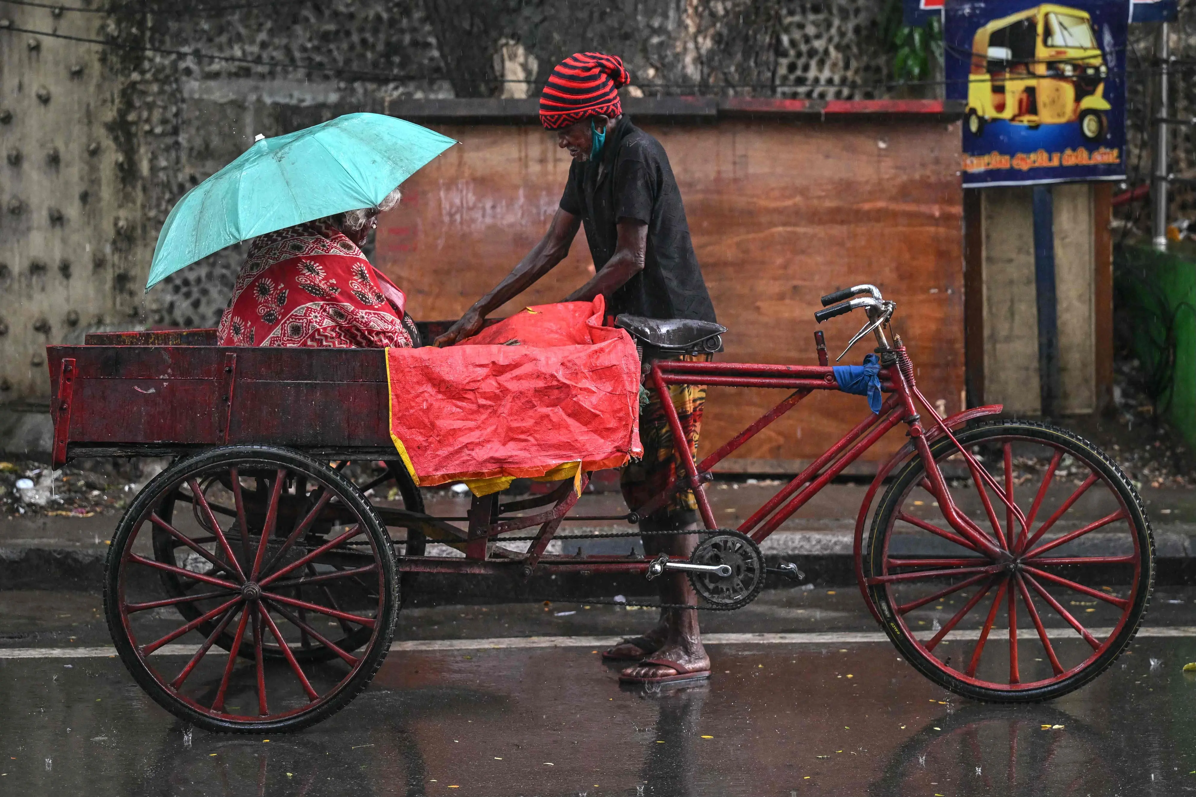
New Dellhi: Weather models indicate that monsoon activity could strengthen over central India between August 8 and 15, with widespread moderate to heavy rainfall expected across parts of Madhya Pradesh, Chhattisgarh, Maharashtra and neighbouring areas.
Forecasts from the European Centre for Medium-Range Weather Forecasts (ECMWF) suggest that some areas could receive accumulated rainfall of more than 100-200 mm during the period. Isolated higher rainfall totals are also possible over parts of the Northeast.
The expected wet spell comes despite the India Meteorological Department's broader assessment that India's monsoon season could end below normal, with seasonal rainfall projected at around 90% of the long-period average.
Why heavy rain is expected
Weather models are currently indicating stronger moisture flow towards central India, supported by the monsoon trough and associated low-pressure systems.
The core monsoon zone could experience widespread moderate to heavy rain, while northern and northeastern parts of the country may see more scattered but significant rainfall.
Recent IMD bulletins have already reported heavy to very heavy rainfall at isolated places over East Rajasthan, Odisha, Madhya Pradesh, Chhattisgarh and adjoining areas, indicating an active monsoon phase.
Developing and strengthening El Nino conditions in the Pacific are also among the factors being considered in the broader seasonal outlook.
Below-normal monsoon does not mean dry weather everywhere
A seasonal rainfall forecast does not mean rainfall will remain uniformly low throughout the monsoon.
Short-lived low-pressure systems and other weather disturbances can produce intense rainfall over particular regions even when the overall seasonal rainfall remains below normal.
Intense rain over a short period can increase the risk of waterlogging, flooding and disruption, particularly in vulnerable urban and low-lying areas. A warmer atmosphere can also hold more moisture, potentially contributing to more intense individual rainfall events.
Delhi crosses August rainfall average
Delhi has already surpassed its average rainfall for August within the first eight days of the month.
The Safdarjung Observatory recorded 230.1 mm of rainfall from August 1 to August 8, compared with the city's August average of 226.8 mm, based on the 1991-2020 climatological period.
Delhi also recorded its wettest August day in two years on Saturday. Safdarjung received 98.7 mm of rainfall in the 24 hours ending at 8.30 am.
The last time Delhi recorded more rainfall on a single August day was August 1, 2024, when 107.6 mm was recorded.
The capital has now experienced rainfall for four consecutive days.
Other weather stations also recorded substantial rainfall in the 24 hours ending at 8.30 am on Saturday:
- Palam: 104.6 mm
- Ayanagar: 115 mm
- Ridge: 89.8 mm
- Lodhi Road: 86.8 mm
- Safdarjung: 98.7 mm
Delhi is expected to receive light to very light rain at some places over the next two days, according to the IMD.
What to expect next
The coming week could bring a notably active monsoon spell over the heart of India, particularly across Madhya Pradesh, Chhattisgarh, Maharashtra and adjoining regions.
However, medium-range rainfall forecasts can change as new observations are incorporated into weather models. The IMD's daily and extended-range forecasts will remain important for tracking changes in rainfall intensity and location.