India's home-grown GPS alternative: What is NavIC, how does it work and what changes with NVS-03?
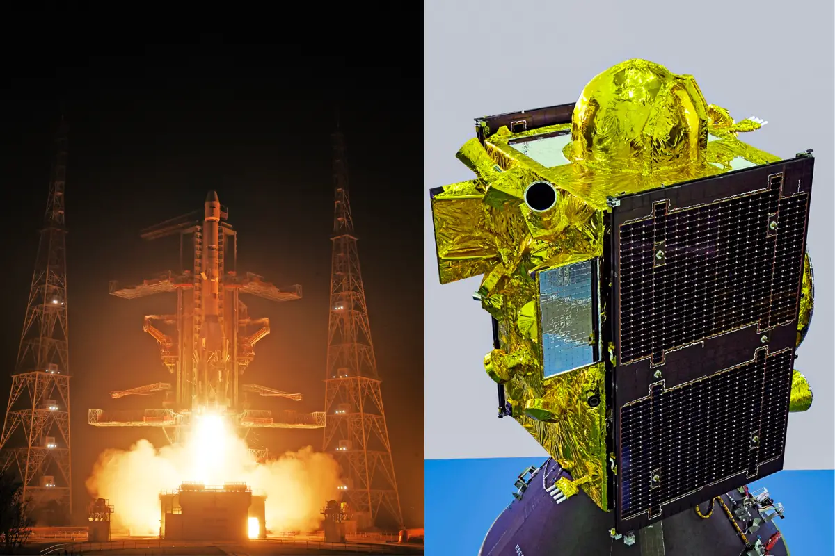
New Delhi: India's independent satellite navigation programme has received a significant boost with the successful placement of NVS-03 in its designated geosynchronous orbit. The Indian Space Research Organisation (ISRO) completed the satellite's third and final orbit-raising manoeuvre, marking an important step towards strengthening the country's NavIC network.
NVS-03 was launched aboard the GSLV-F18 rocket from the Satish Dhawan Space Centre in Sriharikota on October 30, 2026. Following the launch, the satellite was placed in an initial transfer orbit before undergoing a series of manoeuvres to reach its intended position.
NavIC, or Navigation with Indian Constellation, is India's regional satellite-based navigation system. Similar to the United States' GPS, it provides positioning and timing information across India and an area extending approximately 1,500 km beyond the country's borders.
The system supports several applications, including navigation through smartphones and vehicles, maritime operations, railway services, emergency response and infrastructure management.
NavIC's capabilities had been affected by problems with atomic clocks aboard some earlier satellites. The situation was further complicated when its predecessor, NVS-02, failed to reach its intended orbit due to a propulsion-system issue. This reduced the number of operational satellites available to provide independent positioning services.
NVS-03 is expected to help restore the minimum satellite requirement for independent positioning services. It carries an indigenously developed atomic clock, along with additional clock systems, to support accurate timing. Its navigation payload also operates across the L1, L5 and S frequency bands, improving compatibility with navigation receivers and devices that support these signals.
The addition of NVS-03 is important for India's technological and strategic independence. A reliable domestic navigation system reduces the country's dependence on foreign satellite networks for critical positioning and timing services.
However, reaching the designated orbit does not mean that the satellite's services are immediately available. ISRO must complete further system checks and commissioning before NVS-03 can become fully operational. The satellite has been designed for an operational life of around 12 years.
Why is NavIC important for India?
NavIC gives India greater control over its satellite-based positioning and timing infrastructure. Such systems are essential for transportation, disaster management, maritime navigation, logistics and several strategic applications.
Unlike GPS, which is operated by the United States, NavIC is an Indian regional navigation system designed to serve India and neighbouring areas. Maintaining an independent network is particularly important during geopolitical tensions, when access to foreign navigation systems could become a strategic concern.
The inclusion of the L1 frequency band is another important development. It can improve compatibility with commonly used smartphone chipsets and navigation receivers, potentially making NavIC more accessible to everyday users.
What happens next?
With NVS-03 successfully placed in its designated orbit, India has moved closer to strengthening its regional navigation network. ISRO will now need to complete the satellite's testing and commissioning process before its services become available.
The development is an important step towards improving the reliability of NavIC and strengthening India's ability to provide independent navigation services.
NavIC versus GPS — why India's independent system matters
GPS is one of the world's most widely used satellite navigation systems, but it is operated by the United States. Several other countries, including Russia, China and the European Union, also operate their own satellite navigation networks.
India developed NavIC to maintain independent access to positioning and timing services, particularly for its territory and surrounding region. This capability has applications beyond everyday navigation, including defence, disaster response, transportation and critical infrastructure.
The problems experienced by earlier NavIC satellites highlighted the importance of maintaining a reliable constellation and replacing ageing or malfunctioning spacecraft. NVS-03 is part of ISRO's effort to strengthen the next generation of the network.
Its successful orbit placement is therefore an important milestone, although the satellite must complete commissioning before its full operational contribution can be assessed.