Glaciers melt, lakes grow: Nine Himachal sites emerge as GLOF hotspots
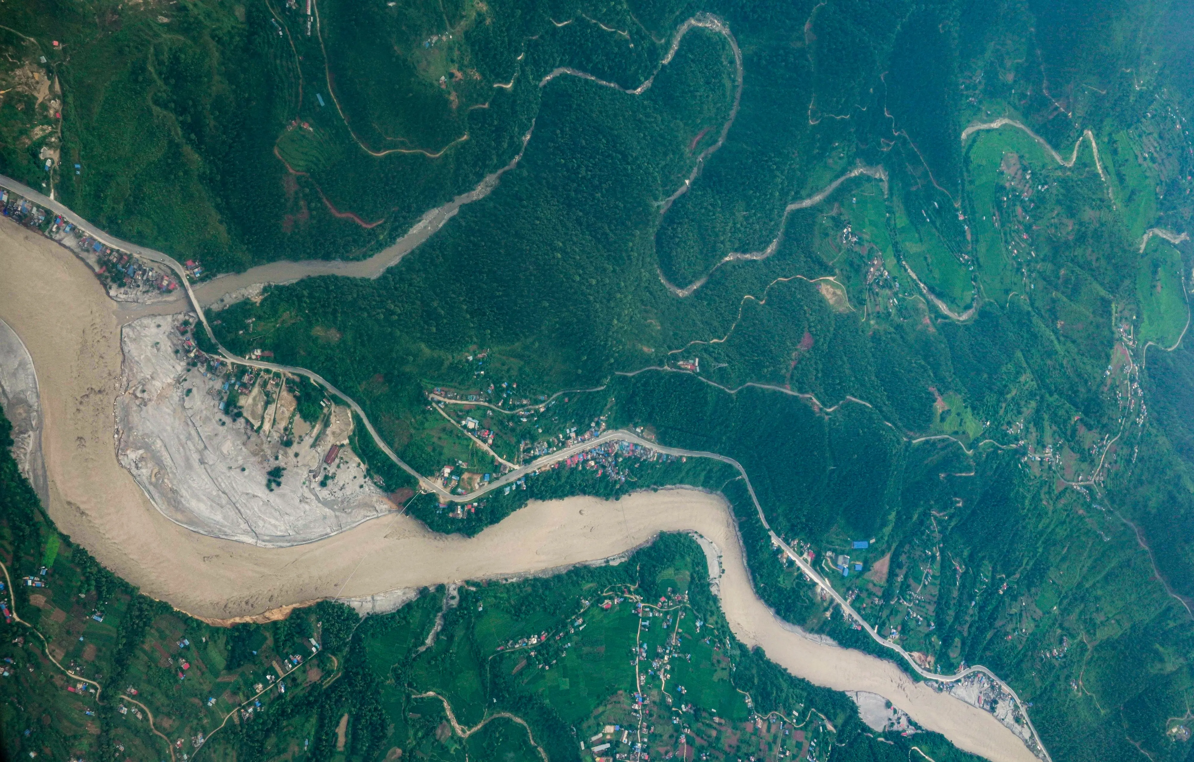
Nine rapidly expanding glacial lakes in Himachal Pradesh have been identified as potential high-risk sites for glacial lake outburst floods, with villages, bridges and key public facilities located downstream.
Researchers at IIT Mandi have identified Kalikund, Chandratal, Vasuki, Surai, Kya Tso, Yoche, Samudra Tapu, Kasang and Gepang Gath as particularly vulnerable.
The lakes are located in the high-altitude regions of Chamba and Lahaul, where rising temperatures are accelerating glacier melt. Researchers warned that a sudden failure of the natural barriers holding these lakes could release large volumes of water and debris into valleys below.
The study found that more than 15 bridges, several villages and educational and healthcare facilities are located within potential hazard zones.
Glacial lakes growing across the Himalayas
The IIT Mandi research found that the number of glacial lakes across the Himalayan region has increased by nearly 30 per cent over the past decade. Their expanding size is increasing the amount of water that could potentially be released during a sudden outburst.
Gepang Gath has expanded by around 244,000 square metres, while Kasang has grown by nearly 150,000 square metres. Kalikund has expanded by about 120,000 square metres.
Professor Dr Dericks P. Shukla, who was involved in the research, said the number of glacial lakes across the Himalayan region is now approaching 2,000.
Why Kalikund is a particular concern
Researchers have highlighted Kalikund because of the steep slopes surrounding the lake. Such terrain can be vulnerable to disturbances, including landslides and earthquakes.
A glacial lake outburst flood can occur when a natural barrier holding back a lake fails or is destabilised. The resulting water can move rapidly through narrow mountain valleys, carrying rocks and debris and potentially affecting settlements and infrastructure downstream.
Climate change is increasing the risk
Rising temperatures are driving glacier melt across the Himalayas, creating and enlarging glacial lakes.
The IIT Mandi study also identified human activity as a potential factor. Increased tourism can contribute to dust deposition on glaciers. Dark dust absorbs more solar radiation than clean snow and ice, which can accelerate melting.
Earthquakes and landslides can add another layer of risk by destabilising slopes or natural barriers around glacial lakes.
Centre asks Himalayan states to strengthen preparedness
The warning comes as the Ministry of Home Affairs has directed Himalayan states and Union Territories to strengthen monitoring and preparedness against GLOFs and snow avalanches.
At a review meeting on Thursday, Union Home Secretary Govind Mohan asked authorities to continuously monitor vulnerable glacial lakes and avalanche-prone areas, identify high-risk locations and strengthen early-warning and evacuation systems.
Officials from Himachal Pradesh, Uttarakhand, Sikkim, Arunachal Pradesh and Jammu and Kashmir attended the meeting, along with representatives from the National Disaster Management Authority, Central Water Commission, India Meteorological Department and other agencies.
The MHA also asked states to expedite GLOF mitigation projects sanctioned by the Centre in 2024.
Why early warning systems matter
Researchers said satellite technology has made it easier to identify and track changes in glacial lakes, but satellite monitoring alone is not enough.
Field-based assessments, continuous monitoring, early-warning systems and evacuation plans are needed in areas located below vulnerable lakes. Effective coordination between scientific agencies, disaster authorities and local administrations can also determine how quickly communities receive warnings during an emergency.
Why Himachal faces a growing GLOF risk
The concern is not simply that glacial lakes are becoming larger. The risk increases when expanding lakes are located behind unstable natural barriers and above populated valleys or important infrastructure.
Himachal Pradesh’s mountainous terrain means a sudden release of water can move rapidly through confined valleys, leaving limited time for downstream communities to respond.
The IIT Mandi findings and the Centre’s latest preparedness directive point to the need for a shift from responding to disasters after they occur to identifying vulnerable lakes, monitoring changes and preparing evacuation routes in advance.
For communities living downstream of the nine identified lakes, the key issue is therefore not only the amount of water stored in the lakes but also how quickly authorities can detect changes and communicate warnings before an outburst occurs.