
Although several weather scientists and forecasting platforms had flagged cloud formation along the Kerala coast, the sudden increase in rainfall intensity could not be accurately predicted.
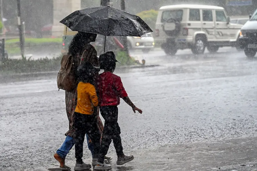
Kottayam: As Kerala faces another flood threat, the limitations of weather forecasting have once again come under scrutiny after an abrupt overnight shift brought extremely heavy rainfall to parts of the state.
At 10 pm on July 31, the India Meteorological Department (IMD) had issued an orange alert for seven districts — Thiruvananthapuram, Kollam, Pathanamthitta, Alappuzha, Kottayam, Idukki and Ernakulam — indicating the likelihood of heavy rainfall. However, weather conditions changed dramatically after 10 pm.
Pathanamthitta, Kottayam and Idukki witnessed a rapid escalation to a red alert situation, with extremely heavy rain lashing several areas within hours. Although several weather scientists and forecasting platforms had flagged cloud formation along the Kerala coast, the sudden increase in rainfall intensity could not be accurately predicted.
By around midnight, rainfall in eastern parts of Pathanamthitta and Kottayam, as well as Idukki, had reached nearly 200 mm.
According to IMD data, Peerumedu recorded the highest rainfall at 213 mm, followed closely by Thodupuzha with 212 mm. Other major rainfall totals included Kurudamann in Pathanamthitta at 162 mm, Konni at 140 mm, Idukki at 154 mm and Kottayam at 133 mm.
Readings from Automatic Weather Stations (AWS) were even higher. Laha in Pathanamthitta topped the list with 248 mm of rainfall, while Venkurinji on the Pathanamthitta-Kottayam border recorded 207 mm. Ranni received 191 mm and Thadiyoor 160 mm.
Localised cloudbursts intensified destruction
The destruction reported in Poonjar's Thekkekara and Teekoy in Kottayam district was largely attributed to intense rainfall over the Peerumedu belt. What was expected to be heavy rain as of 10 pm quickly intensified into extremely heavy rainfall within one to two hours, dumping massive volumes of rain over a limited area.
Such highly localised downpours significantly increase the risk of flash floods and widespread damage.
Heavy rain over the Peerumedu region also triggered unprecedented flooding in Erattupetta. Local residents said the area witnessed its highest rainfall since 1958. Six minor and major landslides were reported from the catchment areas of the Poonjar and Teekoy streams, tributaries of the Meenachil River.
The exceptionally heavy rainfall at Laha left Ranni reeling once again, recalling the devastation experienced during the 2018 floods.
The situation was upgraded through warnings issued at around 4.45 am, when conditions effectively moved into the red alert category.
Had the change been anticipated earlier, authorities could have declared a holiday for educational institutions in Kottayam district on Friday night itself. Instead, the announcement came only early on Saturday morning, indicating that the district administration had not received sufficient advance warning of the rapid deterioration in weather conditions.
According to the scientific community, El Niño-related weather patterns can lead to the rapid formation of towering convective clouds over a confined area, resulting in episodes of extremely heavy rainfall within a short period. Scientists say such sudden weather developments remain difficult to forecast accurately and acknowledge the limitations in predicting these abrupt changes.
Published: 02 Aug 2026, 11:39 am IST
Disclaimer: Kindly avoid objectionable, derogatory, unlawful and lewd comments, while responding to reports. Such comments are punishable under cyber laws. Please keep away from personal attacks. The opinions expressed here are the personal opinions of readers and not that of Mathrubhumi.
