
The Himachal government is working with the Centre for Development of Advanced Computing (C-DAC) to develop solutions for monitoring and communication in these remote areas.
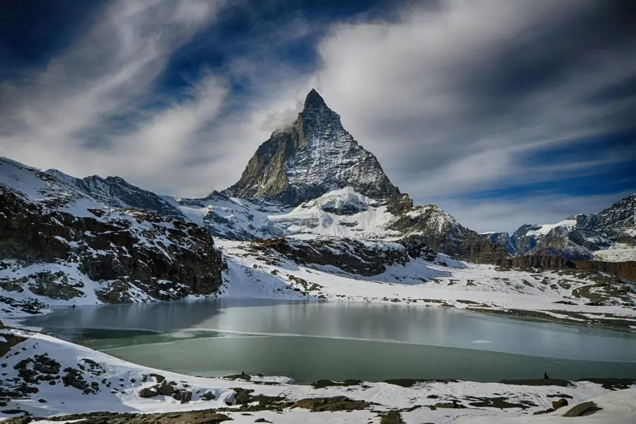
Shimla: The devastating glacial flood disaster in Nepal has brought renewed attention to the risks posed by unstable high-altitude lakes across the Himalayas, with Himachal Pradesh identifying 67 vulnerable glacial lakes and planning early warning systems for four of them.
The state is using satellite imagery and other scientific data to monitor the lakes for changes that could increase the risk of glacial lake outburst floods (GLOFs). Authorities are also exploring technology that can transmit real-time information from remote locations where conventional mobile and communication networks are unavailable.
Speaking to ANI in Shimla, Pushpinder Rana, Special Secretary, Disaster Management, Himachal Pradesh government, said the number of vulnerable lakes was a serious concern, particularly because recent Himalayan disasters have shown that dangerous events can occur without the rainfall conditions that are usually associated with flooding.
"Number bada hai, chinta ka vishay toh hai hi (The figure is huge, it's a matter of concern). At the State Centre for Climate Change, we have identified 67 such lakes which are above 10 hectares in area. We are analysing them through satellite and other data to see whether any such situation is developing in them," he said.
A GLOF occurs when water stored in or around a glacial lake is suddenly released, sending potentially destructive volumes of water downstream. Such floods can sweep away infrastructure and threaten settlements situated along river valleys.
Rana said recent events in the Himalayan region had underlined the limitations of relying only on rainfall forecasts to anticipate such disasters.
The state is therefore looking at technological solutions that could enable continuous monitoring of vulnerable lakes, particularly those located in difficult-to-reach mountainous terrain.
"Until we find an innovative way to move forward on this, we will not be able to take effective steps regarding them," Rana said.
Early warning systems planned for four lakes
Himachal Pradesh has submitted a proposal to the National Disaster Management Authority (NDMA) seeking support for early warning systems for vulnerable glacial lakes.
Four lakes in Kinnaur and Lahaul-Spiti have been selected for work under the National Landslide Mitigation Programme, with the focus on improving monitoring and early-warning capabilities.
The identified locations include Parchu Lake and vulnerable areas in the Sangla-Kinnaur region, along with sites in Lahaul-Spiti.
The proposed systems will be designed to detect potentially dangerous changes in lake conditions and relay alerts to authorities and communities living downstream.
But installing and operating sensors at high altitudes presents significant logistical and technical hurdles.
"The early warning system is a technical challenge. The problem is that these locations are in very remote areas where there is no network connectivity. Where will the sensors be installed, how will they be installed and how will the data be transferred? These are the challenges," he said.
The Himachal government is working with the Centre for Development of Advanced Computing (C-DAC) to develop solutions for monitoring and communication in these remote areas.
Once NDMA gives final approval, the state plans to begin installing an early warning system at Dipang Ghat.
High Flood Level mapping also underway
Early warning technology is being supplemented by efforts to identify areas that could be inundated if a sudden release of water occurs.
The state is undertaking High Flood Level (HFL) marking in downstream locations, including areas around Dipang Ghat, to help authorities understand the potential extent of flooding.
"The High Flood Level marking in the downstream areas that could be affected is also being taken up at Dipang Ghat. The process is underway," Rana said.
The state also plans to combine HFL mapping with regular monitoring and community awareness programmes around vulnerable lakes.
"The idea is that we will move forward towards an early warning system. The High Flood Level marking and regular monitoring will also be deployed at such locations," he said.
Satellite surveillance key to tracking glacial lakes
Satellite imagery is playing a central role in Himachal Pradesh's efforts to understand changes in glaciers and glacial lakes.
Remote sensing allows scientists to monitor high-altitude areas that can be difficult or dangerous to access physically. Researchers have used satellite datasets to track changes in glacier coverage and the formation and expansion of glacial lakes across Himalayan basins, including the Sutlej and Spiti regions.
Higher-resolution imagery has further improved the ability to identify smaller water bodies and monitor changes in their size.
An expanding glacial lake, changes in nearby glaciers or instability in moraine dams can point to evolving risks. However, such indicators do not automatically mean that a particular lake is about to burst, and individual sites require detailed assessment.
Rana said satellite-based monitoring would remain a key component of Himachal's strategy.
GLOF threat crosses borders
The state has also stressed that monitoring Himalayan glacial systems requires cooperation beyond national boundaries because glaciers and river systems extend across borders.
"There are around 1,000 such lakes within the Indian side of the border, and to understand what is happening and how it is happening, we definitely need international knowledge and exchange," he said.
Rana emphasised the need to share information about changes in high-altitude regions and upstream river systems that could potentially affect communities downstream.
The concern is particularly relevant to Himachal Pradesh, where several major rivers originate in or flow through high-altitude Himalayan terrain.
The state is also strengthening its broader disaster response network. The 1077 emergency helpline remains available for reporting disasters and potential hazards, while Emergency Response Centres at the district and state levels operate around the clock.
Rana said information received from agencies including the India Meteorological Department is assessed and verified before authorities decide on further action.
Published: 30 Aug 2026, 03:47 pm IST
ABOUT THE AUTHOR

Related Topics
Disclaimer: Kindly avoid objectionable, derogatory, unlawful and lewd comments, while responding to reports. Such comments are punishable under cyber laws. Please keep away from personal attacks. The opinions expressed here are the personal opinions of readers and not that of Mathrubhumi.