El Niño is getting stronger: WMO warns of record-breaking heat and global weather disruption
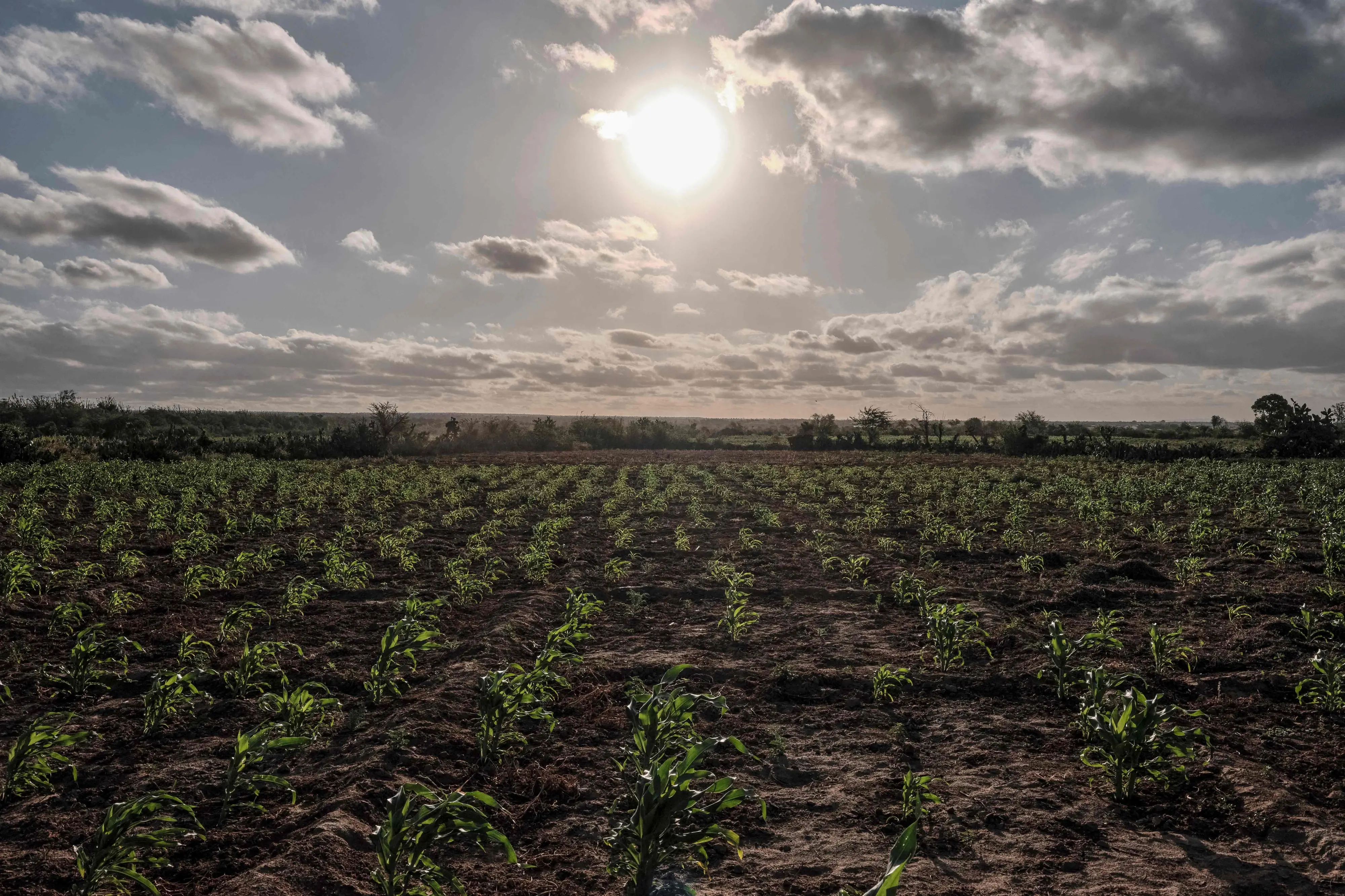
The World Meteorological Organization says the current El Niño is strengthening rapidly and could become one of the strongest events since at least 1950. The phenomenon is forecast to peak in December and is expected to persist until February 2027, increasing risks of extreme heat, drought and heavy rainfall in different regions.
The World Meteorological Organization (WMO) has warned that the ongoing El Niño event will strengthen further before reaching its expected peak in December, with the weather pattern likely to persist until February 2027.
The UN weather agency said there is a near-100 per cent likelihood that El Niño will continue through February 2027 and warned that the event could be one of the strongest since at least 1950.
Pacific Ocean temperatures could break records
The strongest signal is coming from the central and eastern tropical Pacific, where sea-surface temperatures are forecast to reach about 3.7°C above the 1993-2009 average during October-December.
The projected Niño 3.4 anomaly would be the highest since observations began and significantly above the previous record of 2.6°C recorded between November 2015 and January 2016. WMO said the Niño 3.4 anomaly had already risen from 1.6°C above normal in June to 2.5°C in August.
WMO Secretary-General Celeste Saulo said the ocean is exceptionally warm, providing more heat for the strengthening El Niño event.
What does a strong El Niño mean?
El Niño is the warm phase of the naturally occurring El Niño-Southern Oscillation climate pattern. It can alter temperature and rainfall patterns across large parts of the world.
A strong event can increase the likelihood of above-average temperatures while shifting rainfall patterns, raising the risk of drought in some regions and flooding or unusually heavy rainfall in others. WMO's October-December outlook points to increased chances of above-average temperatures across large areas.
India could face rainfall and heat risks
The WMO's seasonal outlook forecasts drier-than-normal conditions over the Indian subcontinent during October-December. However, seasonal forecasts indicate probabilities over broad regions and do not determine the weather at a specific location on a particular day.
The Indian Ocean is also an important factor. WMO expects the positive Indian Ocean Dipole to peak in October before weakening, with its interaction with El Niño potentially influencing regional rainfall patterns.
El Niño and global heat
The strengthening El Niño comes against a backdrop of exceptionally high global temperatures. WMO said Earth experienced its hottest August on record, based on monthly reports from major climate monitoring agencies.
El Niño itself does not create additional heat in the climate system; rather, it redistributes heat stored in the ocean and releases some of it into the atmosphere. Its effects can therefore contribute to unusually high global temperatures during strong events.
Why the 2026-27 El Niño matters
The combination of a rapidly strengthening El Niño and already elevated global temperatures increases the risk of weather extremes in the coming months. The principal concern is not that every region will experience the same conditions, but that established rainfall and temperature patterns could shift significantly.
For governments and communities, the forecast is relevant to agriculture, water management, disaster preparedness, energy demand and public health. Regions facing higher drought risk may need to prepare for water stress, while areas expected to receive heavier rainfall may face greater flood risks.
The WMO forecast is a seasonal outlook rather than a prediction of individual weather events. Local weather agencies will provide more specific forecasts as conditions develop.