India backs UN ‘Correct the Map’ resolution, issues firm warning over J&K, Ladakh
New Delhi: India voted in favour of a United Nations General Assembly resolution encouraging the use of equal-area world map projections, while making clear that its support does not amount to endorsement of any specific map or depiction of national boundaries.
The United Nations General Assembly adopted the resolution titled “Correct the Map: Rebalancing Global Cartographic Representation and Promoting Equitable Representation of the World’s Regions, Particularly Africa” on September 4, 2026.
The resolution was adopted by 164 votes to one and encourages greater use of equal-area map projections, which are designed to preserve the relative sizes of continental landmasses.
India voted in favour of the resolution and said it supported the underlying principle of promoting more equitable cartographic representation.
India says resolution does not endorse a specific map
The Ministry of External Affairs clarified that the resolution does not adopt or authenticate any particular world map or map projection.
It also does not deal with political cartography, including international boundaries, disputed territories or place names.
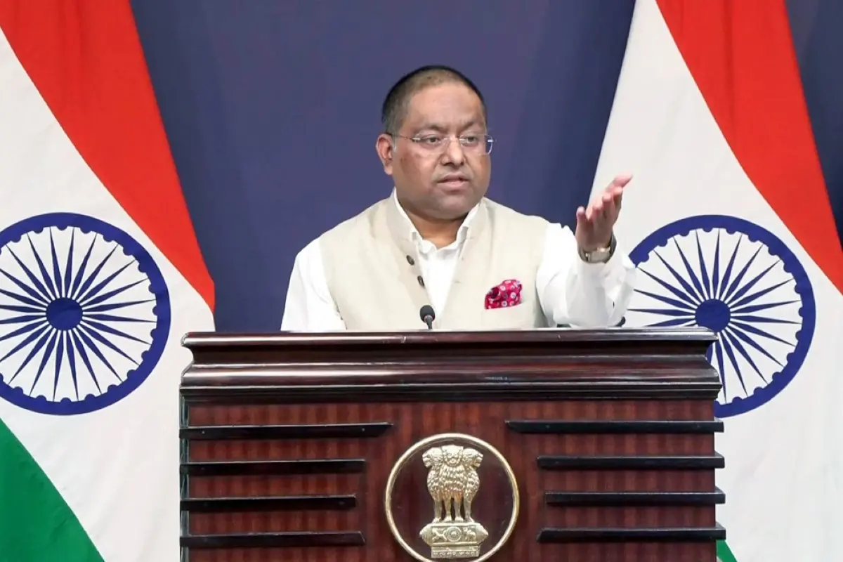
Indian diplomat Raghoo Puri, while explaining India's vote, said the resolution should be understood as supporting the broader use and consideration of equal-area projections rather than endorsing the Equal Earth projection or any other specific projection.
India reiterates position on J&K and Ladakh
Despite supporting the resolution, India used its explanation of vote to reiterate its position on the depiction of its sovereign territory.
The MEA said that Jammu and Kashmir and Ladakh, which are Union Territories of India, must be depicted according to India's official map.
The ministry further stated that inaccurate or misleading depictions of India's territory are unacceptable and reaffirmed that India's position on its sovereignty and territorial integrity remains consistent.
What the resolution means
The resolution is primarily concerned with how the world's land areas are represented on maps. Traditional map projections can distort the apparent size of countries and continents, particularly those located at higher latitudes.
Equal-area projections seek to address this by maintaining the proportional area of landmasses. However, India's explanation makes clear that its vote on the cartographic principle should not be interpreted as acceptance of any particular political map or territorial depiction.
India's position separates cartographic representation of land area from political representation of borders and sovereignty. While New Delhi backed the UN initiative to encourage equal-area projections, it explicitly maintained that India's territorial boundaries and the depiction of J&K and Ladakh must follow its official position.
This distinction is significant because the UN resolution itself does not settle territorial disputes or establish internationally recognised boundaries. India's explanation of vote therefore sought to prevent its support for the broader cartographic principle from being interpreted as acceptance of any map that conflicts with its stated territorial position.