WB weather & rain forecast till April 21: Thunderstorms, 50 kmph winds to hit districts
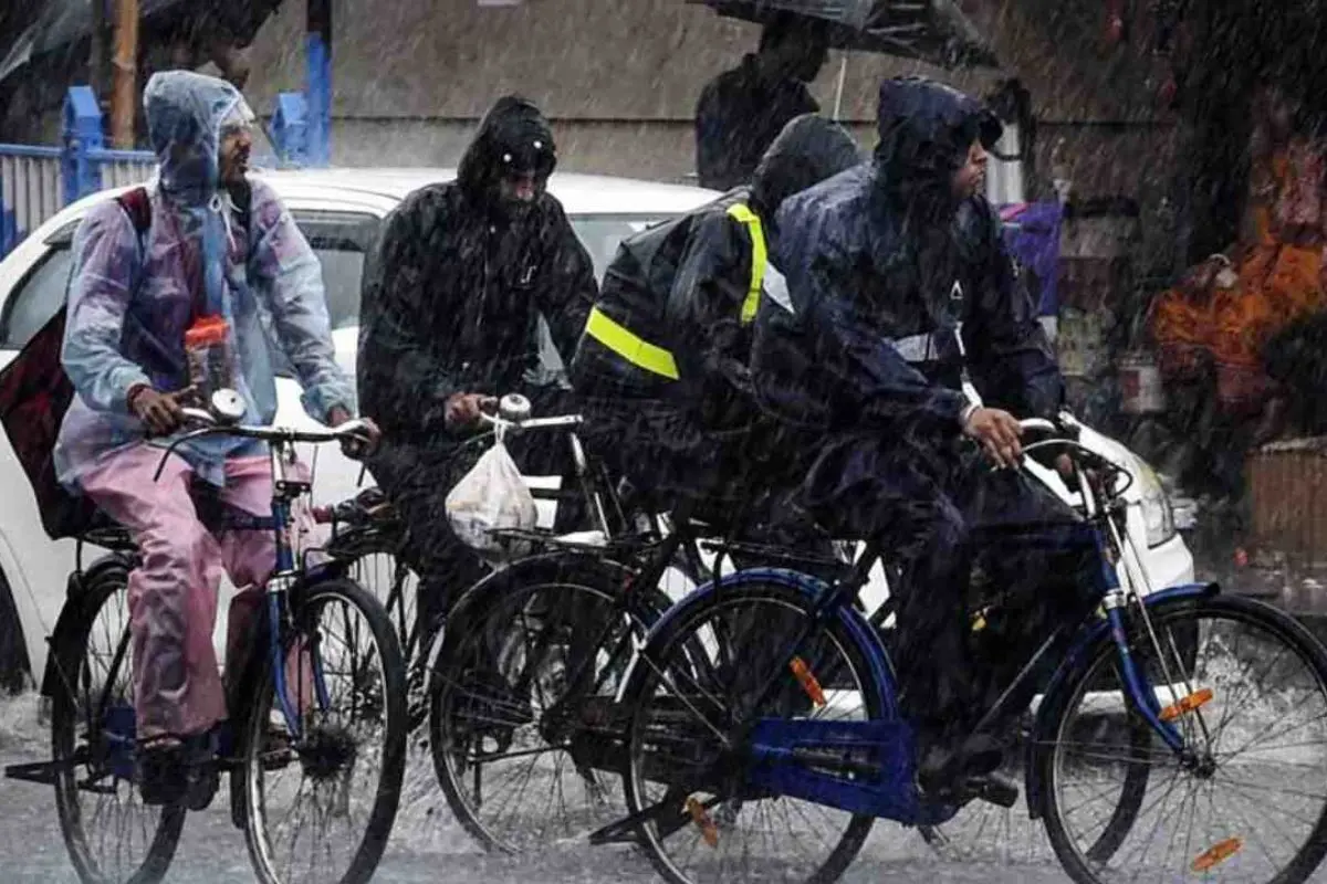
Kolkata: A sharp and potentially disruptive weather transition is set to unfold across West Bengal, with thunderstorms, lightning, and Nor’wester (Kalbaisakhi) activity likely to intensify till April 21, even as large parts of the state continue to reel under oppressive heat.
According to the latest forecast, the change in weather patterns has already begun taking shape, driven by a cyclonic circulation over Jharkhand and adjoining Gangetic West Bengal, along with a trough extending from South Assam to Tamil Nadu.
These systems are expected to trigger widespread instability across both South and North Bengal over the next several days.
Thunderstorms to intensify across districts
From Wednesday onwards, districts in western South Bengal, including Purulia, Bankura, Jhargram, and Paschim Medinipur are likely to witness thunderstorm activity accompanied by lightning and gusty winds reaching speeds of 40–50 kmph.
However, the impact will not remain confined to these districts. Scattered rainfall activity is expected across most parts of South Bengal, with varying intensity, from light showers to moderate spells and isolated cloud build-up.
Kolkata and adjoining districts such as North and South 24 Parganas may receive light, isolated thundershowers in the next 24 hours, though widespread rainfall is unlikely immediately.
Heatwave conditions persist alongside storms
Despite the incoming storms, heat discomfort remains a major concern. Alerts have been issued for several districts, including Paschim Medinipur, Jhargram, Purulia, Bankura, and Paschim Bardhaman, where high humidity and rising temperatures will continue to cause severe discomfort.
Over the next 48 hours, maximum temperatures in South Bengal are expected to rise by up to 2°C before intermittent rainfall brings temporary relief.
North Bengal on alert for heavy rain and storms
North Bengal is also set for significant weather activity. Districts including Darjeeling, Kalimpong, Alipurduar, Cooch Behar, and Jalpaiguri are under alert for thunderstorms, lightning, and gusty winds.
Heavy rainfall is likely in the hill districts, particularly Darjeeling and Kalimpong, with wind speeds potentially touching 50 kmph.
Thunderstorm activity across North Bengal is expected to continue till April 19, after which rainfall may reduce in districts like Malda and Dakshin Dinajpur.
However, upper North Bengal districts and Uttar Dinajpur may continue to see light rain and thunder till April 21.
Kolkata weather outlook
Kolkata will remain hot and humid despite intermittent rain activity. The maximum temperature is expected to hover around:
- April 16: 36°C
- April 17: 34°C
- April 18: 35°C
- Till April 21: Around 36°C
Minimum temperatures are likely to remain steady at around 27°C.
Synoptic situation driving the change
Meteorological conditions indicate a classic pre-monsoon setup. A cyclonic circulation at around 0.9 km above mean sea level over Jharkhand and adjoining regions, combined with an active trough line stretching across eastern and southern India, is fuelling moisture incursion and atmospheric instability.
This combination is conducive for the formation of Nor’wester storms, short-lived but intense convective systems known for sudden gusty winds, lightning and sharp rainfall.