Back-to-back 3.2 magnitude earthquakes hit Myanmar within 30 minutes
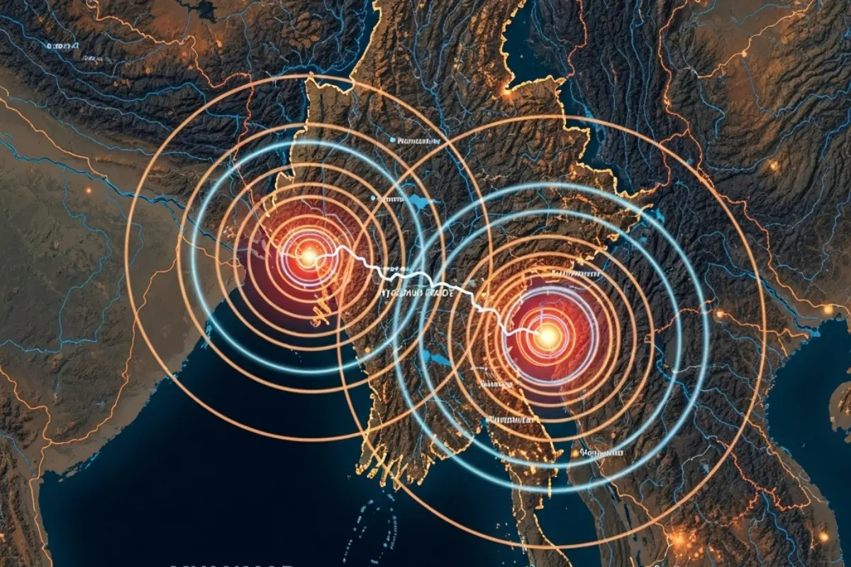
Naypyidaw: Two magnitude 3.2 earthquakes struck Myanmar within half an hour on Saturday, raising concerns about the country’s frequent seismic activity and the risks posed to densely populated regions.
Earthquake details
The first tremor hit at 12:26 am IST at a depth of 80 km, followed by a second earthquake at 12:52 am IST, at a shallower depth of 25 km, according to the National Centre for Seismology (NCS).
Shallow earthquakes like the second tremor are considered more dangerous, as seismic waves reach the surface faster, causing stronger shaking and potentially more damage.
- First quake: 3.2 magnitude, 80 km depth, Lat: 23.53 N, Long: 94.59 E
- Second quake: 3.2 magnitude, 25 km depth, Lat: 23.44 N, Long: 93.49 E
These tremors come days after a magnitude 2.8 earthquake on February 13 at 35 km depth.
Why Myanmar is seismically active
Myanmar lies at the intersection of four tectonic plates – Indian, Eurasian, Sunda, and Burma – making it highly prone to earthquakes. A 1,400-kilometre transform fault runs through the country, connecting the Andaman spreading centre to the northern Sagaing Fault.
The Sagaing Fault significantly increases earthquake risks for major cities like Sagaing, Mandalay, Bago, and Yangon, which together house nearly 46% of Myanmar’s population.
Historical records show that earthquakes in the region can be devastating. In 1903, a magnitude 7.0 quake centred in Bago also impacted Yangon, highlighting the vulnerability of even distant urban centres.
Though Yangon is not directly on the fault line, its dense population and infrastructure make it particularly susceptible to tremors. Continuous monitoring and preparedness are crucial to reduce potential damage from Myanmar’s frequent seismic events.