Mumbai’s first fully underground Metro Line launched: Key details on routes, fares & the new mobility app
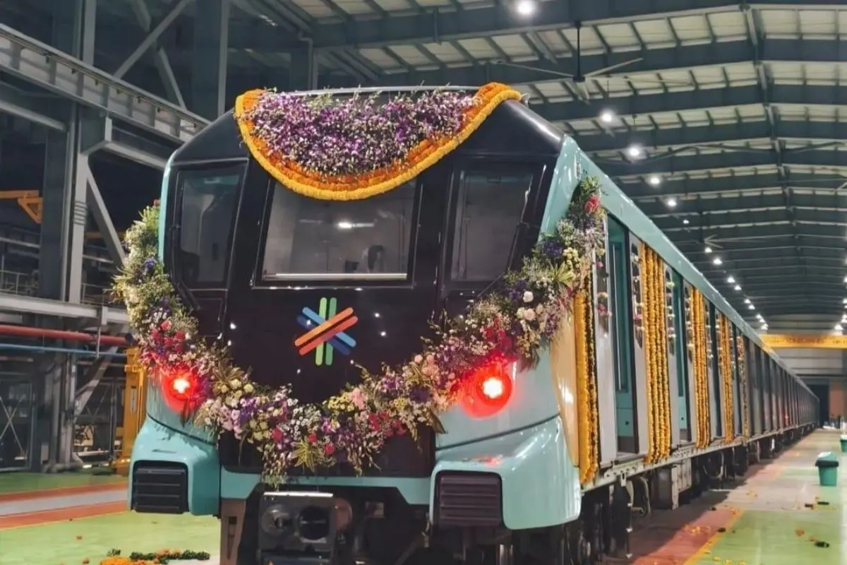
Mumbai: Prime Minister Narendra Modi on Wednesday inaugurated the final phase of Mumbai Metro Line 3, making the city's first fully underground metro corridor fully operational. The project, also known as the Aqua Line, has been developed at a total cost of ₹37,270 crore and is expected to ease road traffic and reduce travel time for lakhs of Mumbaikars.
Metro Line 3 (Aqua Line): What you need to know
Total Length: 33.5 km
Stations: 27 underground stations
Route: Cuffe Parade to Aarey (Jogeshwari Vikhroli Link Road)
Daily Capacity: Up to 13 lakh passengers
Service Hours: From 5:55 AM to 10:30 PM, with trains every 5 minutes
First Phase: Aarey to BKC (opened Oct 7, 2024)
Second Phase: BKC to Acharya Atre Chowk (opened May 10, 2025)
Final Phase: Acharya Atre Chowk to Cuffe Parade (opened Oct 8, 2025)
Areas that it will connect now:
Business & Admin Hubs: Fort, Kalbadevi, Mantralaya, RBI, BSE, Nariman Point
Tourist Zones: Marine Drive, Kala Ghoda
Railway Integration: Direct links to CSMT, Churchgate, and Mumbai Central
Airport Access: Seamless metro connection from South Mumbai to Mumbai Airport
Fare structure
Up to 3 km: ₹10
3 – 12 km: ₹20
12 – 18 km: ₹30
18 – 24 km: ₹40
24 – 30 km: ₹50
30 – 36 km: ₹60
Maximum fare₹70
More features:
It is expected to reduce 2.61 lakh tonnes of CO₂ emissions every year
India’s first metro project to use 17 Tunnel Boring Machines simultaneously
‘Mumbai One’ App
Along with the metro inauguration, PM Modi also launched the ‘Mumbai One’ App, a first-of-its-kind Integrated Mobility App that connects 11 major transport systems in Mumbai.
Supported transport operators:
Mumbai Metro Lines 1, 2A, 3 (Aqua), 7
Mumbai Monorail, Navi Mumbai Metro
Mumbai Suburban Railway
BEST, Thane, Mira-Bhayander, Kalyan-Dombivli, and Navi Mumbai Municipal Transport
Key Features:
- Digital ticketing & QR-code payments across all modes
- Real-time updates on train/bus timings, delays, and routes
- Multimodal journey planner for fastest & cheapest routes
- Map-based navigation to stations and nearby points of interest
- SOS button for commuter safety
- Tourist guide to city landmarks, food, and cultural spots
- Cashless & contactless payments via digital wallets or app balance
The app aims to deliver on the vision of "Mumbai in Minutes", making daily commutes easier and faster while also being a handy tool for tourists.