Chennai weather update: Cyclone Ditwah brings thunderstorms, red alerts and travel disruption
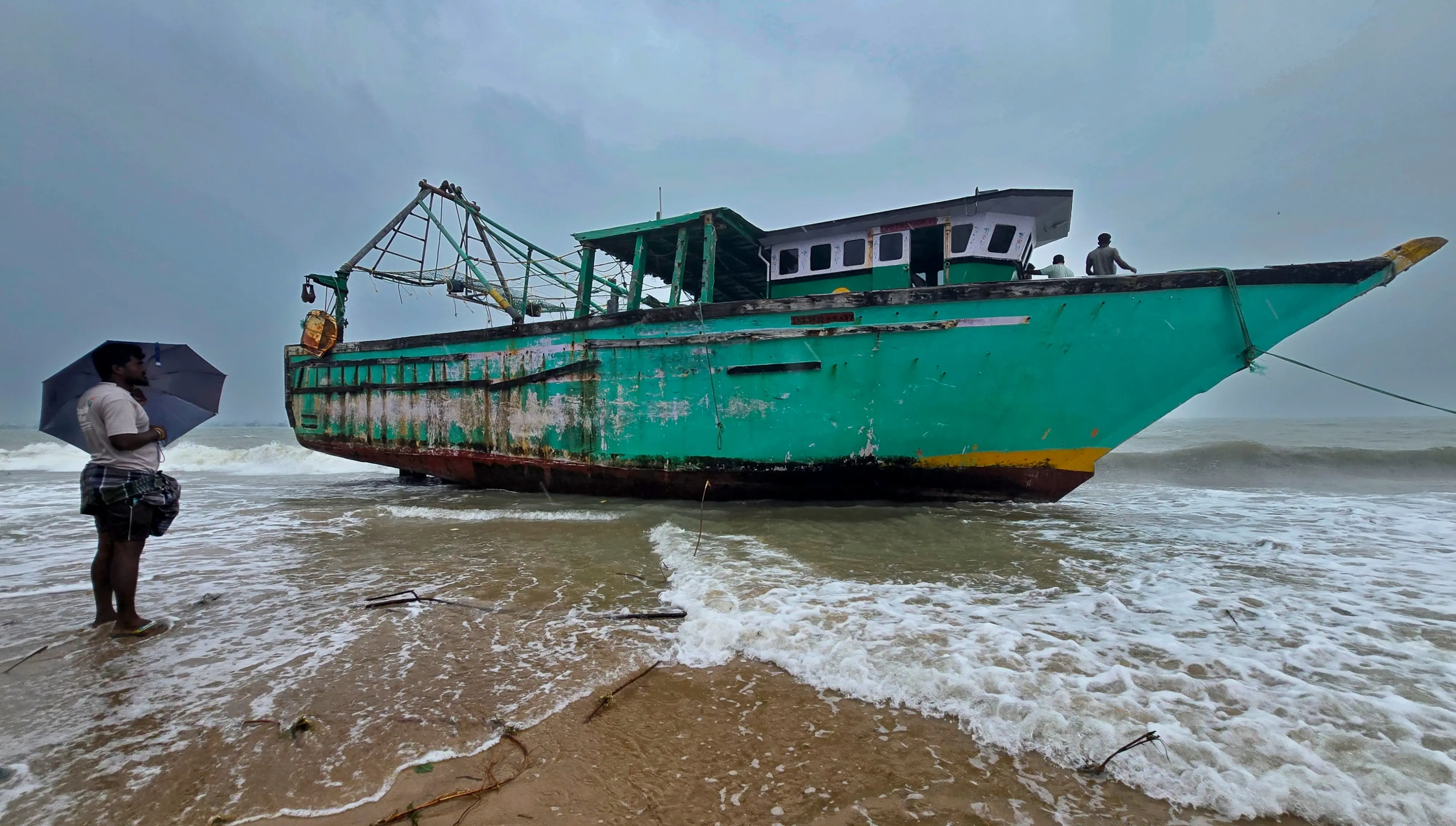
Chennai: Tamil Nadu especially Chennai is experiencing heavy rain, thunderstorms and unstable weather conditions as Cyclone Ditwah advances across the southwest Bay of Bengal towards the Tamil Nadu coast.
The Indian Meteorological Department has issued an orange alert for Chennai and a red alert for neighbouring districts, including Chengalpattu, warning of intense rainfall, lightning and strong winds. Residents have been urged to remain cautious, avoid unnecessary travel and stay away from coastal areas.
As of 11.30 pm on 28 November, Cyclone Ditwah was positioned near the Sri Lankan coastline, moving north-northwest at around 7 km/h. The system was located 70 km northwest of Trincomalee, 170 km northwest of Batticaloa, 240 km south-southeast of Karaikal, 350 km south-southeast of Puducherry and 450 km south of Chennai. Forecasts indicate the cyclone will continue on its north-northwest track, re-emerging fully into the Bay of Bengal after skirting the Sri Lankan coast. It is expected to draw closer to north Tamil Nadu, Puducherry and parts of south Andhra Pradesh by the early morning of 30 November.
Rainfall is set to intensify throughout 29 and 30 November, with heavy showers, thunderstorms and lightning likely across Chennai and nearby districts. Conditions are predicted to ease gradually from 1 December, with moderate rain and occasional thunder, followed by light rainfall between 2 and 4 December.
Transportation has been affected, with IndiGo cancelling its entire ATR flight schedule to and from Chennai for the day as a precaution. A total of 36 regional flights have been withdrawn, including services to Trichy, Madurai and Tuticorin. These routes form the airline’s primary ATR network linked to Chennai, resulting in a full-day grounding of short-haul operations across Tamil Nadu.