How to check Air Quality Index (AQI) using Google Maps
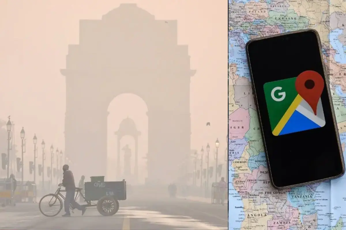
With air pollution continuing to affect daily life across many regions, access to real-time air quality information remains crucial. Google Maps provides users with the ability to monitor the Air Quality Index (AQI) of their surroundings, offering a practical way to stay informed about pollution levels and make travel or outdoor activity decisions accordingly.
Here are some simple steps to check AQI using Google Maps:
Check AQI via map layers
- On your iPhone or Android phone, open Google Maps.
- Tap ‘layers’ icon located below your profile picture.
- Select 'Air Quality' from the list of options.
Check AQI through weather information
- Tap 'Explore' from the Google Maps home screen.
- Click on the weather icon and “NAQI” (bottom right).
- You will find the Air Quality status.
- Tap on Air Quality to view detailed AQI information for your location.
Air quality scale
Google Maps displays an air quality scale ranging from 0 to 500, represented through colours such as green, yellow, orange, and red. These colours indicate the air quality level in your surroundings. When the AQI falls between 0 and 100, the air is considered relatively safe, and the map appears in green. However, if the index rises closer to 500, the screen turns deep red, which signals hazardous air conditions and the need to take precautions before stepping outdoors.
The air quality data is refreshed every few minutes to ensure it reflects the latest available information. According to Google, AQI readings are based on measurements from nearby monitoring stations.
Since air quality can vary from one location to another and a single station may not capture exact conditions at a specific point, the map-based view helps offer a more accurate and comprehensive picture of air quality in the surrounding areas.