Earthquake in Iran: 4.1 magnitude tremor reported in Hormozgan region
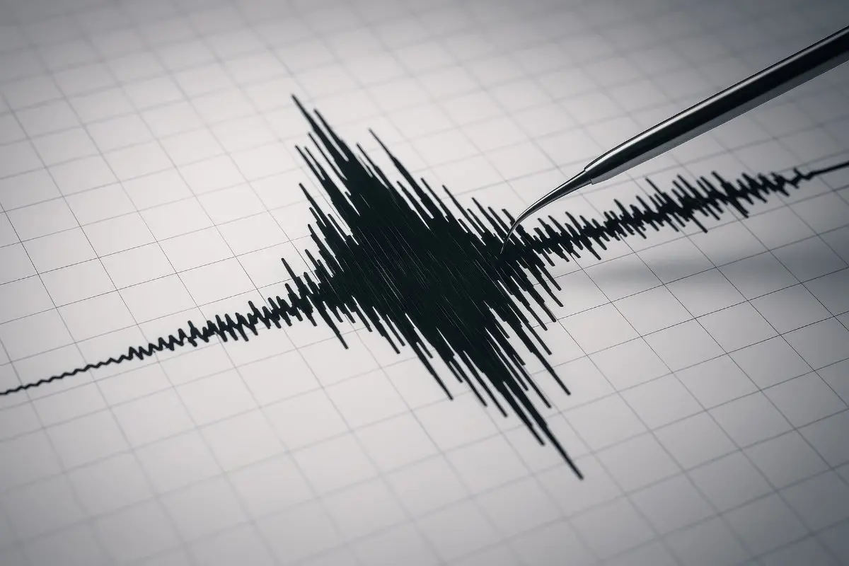
Tehran: A magnitude 4.1 earthquake struck near Bandar Abbas in southern Iran on Saturday morning, according to data released by the United States Geological Survey.
The tremor occurred approximately 74 kilometres west of Bandar Abbas at a depth of about 10 kilometres beneath the surface. The earthquake was recorded at 03:18:12 UTC, which corresponds to early morning local time in Iran.
Seismic data placed the epicentre close to the northern side of the Strait of Hormuz, an important global shipping route.
Geologically, the region lies within the Zagros fold and thrust belt, a zone known for frequent seismic activity. Earthquakes in this area occur because the Arabian tectonic plate is slowly colliding with the Eurasian plate, generating stress along active fault lines.
Authorities have not reported any casualties or significant damage following the earthquake. A tremor of magnitude 4.1 is generally classified as a light earthquake and typically causes mild shaking near the epicentre.
Residents in Bandar Abbas and surrounding areas may have experienced brief vibrations or minor movement of household items, but such earthquakes rarely lead to serious structural damage.
Earlier in the week, another earthquake measuring magnitude 4.3 was recorded in Gerash in Iran’s Fars province, also at a depth of around 10 kilometres.
Iran is considered one of the most earthquake-prone countries in the region due to its location along multiple active geological fault systems. Monitoring agencies continue to observe seismic activity in the area, though no aftershocks or emergency alerts have been issued so far.