How a navy officer’s Strava workout exposed a French warship’s location amid Middle East tensions
A French naval officer has inadvertently exposed the location of one of the country’s most sensitive military assets after logging a workout on a public fitness app during heightened tensions in the Middle East.
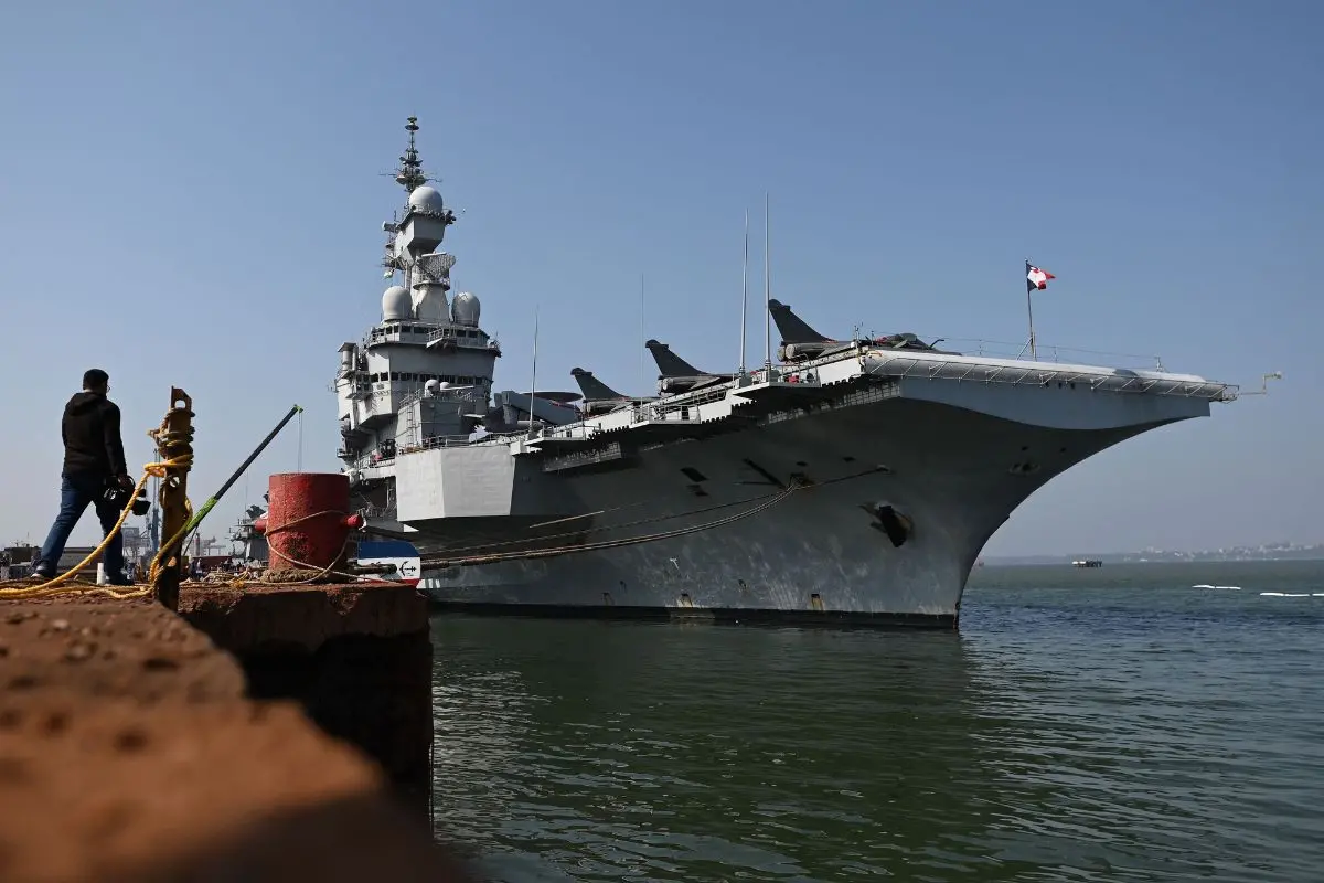
According to French newspaper Le Monde, a sailor aboard the aircraft carrier French aircraft carrier Charles de Gaulle recorded a 36-minute exercise session on Strava, unintentionally revealing the vessel’s precise position in the Mediterranean Sea.
The publicly shared data placed the carrier northwest of Cyprus, around 100 kilometres off the coast of Turkey. France had earlier announced the deployment of the carrier on 3 March, shortly after joint strikes by the United States and Israel on Iran.
ALSO READ | US F-35 hit by suspected Iranian fire, makes emergency landing in Middle East
Strava, which has around 120 million users globally, allows individuals to share geolocated fitness activities such as running and cycling routes. In this instance, the uploaded session made it possible to track not only the individual’s movement but also the location of the carrier and its accompanying fleet in near real time.
Le Monde reported that it verified the information using satellite imagery taken shortly after the activity was logged, which showed the distinctive outline of the 262-metre-long, nuclear-powered vessel in the same area.
France’s Armed Forces General Staff acknowledged the security lapse, stating that sharing such data contravenes operational digital security protocols. Officials added that “appropriate measures” would be taken in response.
The incident was not isolated. Le Monde said it identified at least one other crew member on active deployment who had shared geolocated content online, including images of the ship’s deck, fellow personnel and onboard equipment—raising further concerns about operational security.