Wayanad landslide: LSGD to gather information of missing people; high-level meeting today
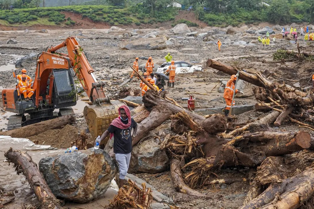
Thiruvananthapuram: The Local Self-Government Department (LSGD) will initiate a comprehensive information-gathering effort regarding those affected by the recent disaster in Wayanad. This will include collecting data on missing persons, preparing lists, coordinating activities in landslide-prone areas, estimating damage, and organising counselling and waste collection efforts. A high-level meeting chaired by LSGD Minister M.B. Rajesh is scheduled for Monday morning in Kalpetta to deliberate on these matters.
The landslide impacted wards 10, 11, and 12 of Meppadi Grama Panchayat, affecting approximately 4,833 people across 1,721 homes. Specifically, ward 10 (Attamala) had 1,424 people in 601 families, ward 11 (Mundakkai) had 1,247 people in 451 families, and ward 12 (Chooralmala) had 2,162 people in 671 families.
The LSGD’s documents are accessible online, facilitating the collection of necessary information. The department will also focus on rehabilitating residents in relief camps, cleaning damaged houses and water sources, and coordinating with Kudumbasree for additional support.
DNA Testing: Blood samples collected for identification
In the effort to identify the deceased, blood samples have been collected from relatives of the unidentified bodies and body parts recovered from the landslide site. The collection process involves offering counselling to those willing to participate and gathering samples from close relatives, including children, grandchildren, parents, and other immediate family members.
Blood samples are currently being collected at Meppadi Government Higher Secondary School and the Panchayat Hall under the supervision of Dr. Binduja Merinjo, Blood Bank Medical Officer at the District Hospital. Plans are also underway to set up additional collection points at the Meppadi MSA Hall.
GIS mapping underway
GIS mapping, led by Uralungal Technology Solutions, has identified 25 damaged structures, including houses and other buildings, in the disaster area. The mapping is conducted by Ananthu from Uralungal Technological Solutions at Uralungal Cyberpark. This process involves analysing satellite images and drone footage to document damaged areas and locate affected structures.
Mapping efforts began on Saturday evening and are essential for planning the recovery and rebuilding process.