Expert panel declares 107.5 hectares of Chooralmala-Mundakkai disaster area unsafe for habitation
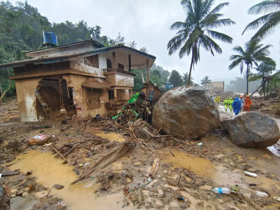
Kalpetta: An expert committee appointed by the state government has deemed 107.5 hectares of land in the Chooralmala-Mundakkai region, which was hit by massive landslides, unsafe and unsuitable for habitation. The committee's report states that 104 hectares were destroyed in the landslide, while an additional 3.5 hectares nearby are also considered dangerous. The landslide-affected area, extending around 300 meters, remains highly unstable.
The expert team, led by Prof John Mathew, revealed that approximately 50 lakh tonnes of debris, including soil and rock, has been deposited in the area following the disaster. Topsoil amounting to 3 lakh tonnes has been completely washed away. The report pinpoints the landslide's epicenter at an elevation of 1500 feet above sea level, where visible cracks in rock layers have raised further concerns. Seven hectares around the epicenter show signs of similar geological instability, indicating a potential risk of additional landslides if heavy rains persist.
The committee has urged authorities to mark potential landslide-prone areas in the region to ensure public safety. The report also includes recommendations for the conservation of the Punnapuzha river basin and guidelines for future construction projects in disaster-sensitive zones.
The state government has also ordered additional inspections by the expert committee in areas like Kalpetta’s Elstone estate and the HML Estate land at Nedumbala in Meppadi which are considered for the rehabilitation of the individuals affected by the disaster.
Besides Prof John Mathew, the expert committee comprised Principal Scientist of CWRDM Dr T K Drishya, Surathkal NIT Associate Professor Dr Sreevalsa Kolathayar, District Soil Conservation Officer Thara Manoharan and Hazard and Risk Analyst from the Kerala State Disaster Management Authority P Pradeep.