Odisha flood update: IMD predicts heavy rains across districts till September 4
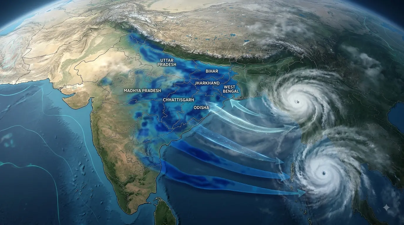
Bhubaneswar: A fresh low-pressure system has formed over the Bay of Bengal, which could bring heavy downpours across Odisha until 4 September, the India Meteorological Department stated on Saturday.
State authorities have initiated preparations to address potential waterlogging and flooding in northern and coastal districts of Odisha, according to an official.
“Under the influence of the upper air cyclonic circulation over northwest Bay of Bengal and adjoining West Bengal-Bangladesh coasts, a low-pressure area has formed over northwest Bay of Bengal and adjoining West Bengal-north Odisha coasts at 5.30 am,” the IMD stated in a weather bulletin.
The weather system is expected to prompt heavy precipitation in the northern, interior, and coastal regions of the state, the agency noted.
Odisha is already dealing with severe flooding in several areas, with over 67,000 residents across three districts affected by a second wave of deluges, the official said.
The IMD had previously issued weather alerts predicting heavy to very heavy rainfall across various parts of Odisha between 20 August and 4 September.
For Saturday, forecasters issued warnings for heavy rain at isolated locations in flood-affected districts including Balasore, Bhadrak, Jagatsinghpur, Keonjhar, Kendrapara, and Mayurbhanj, alongside other districts such as Jajpur, Cuttack, Sundergarh, Jharsuguda, Baragarh, Sambalpur, Deogarh, Angul, Dhenkanal, Kalahandi, Puri, and Nayagada.
“As squally weather with wind speeds reaching 40-50 kmph occasionally gusting to 60 kmph is very likely to prevail along and off the Odisha coast till August 31, fishermen have been advised not to venture into the sea during the period,” the IMD bulletin added.
PTI