Magnitude 3.9 earthquake hits Ladakh; NCS reports shallow tremor near Leh
Leh: A magnitude 3.9 earthquake struck the Ladakh region Friday morning, according to data released by the National Centre for Seismology (NCS).
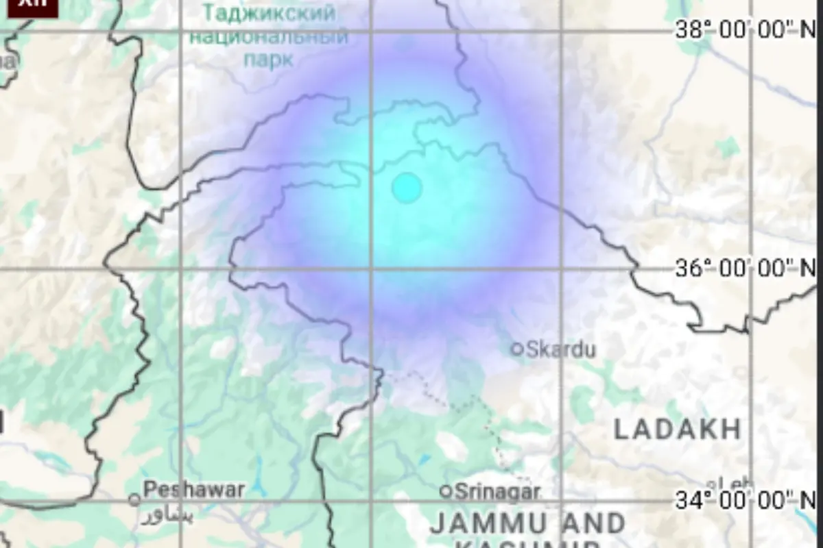
The seismic event occurred at 8:31 a.m. local time. In a statement posted to the social media platform X, the NCS identified the epicentre at latitude 36.692 N and longitude 74.382 E, with the tremor originating at a depth of 10 kilometres.
Seismic Classification
Earthquakes are capable of occurring at various points within the Earth's crust, ranging from the surface to depths of approximately 700 kilometres. According to the United States Geological Survey (USGS), this 700-kilometre range is categorised into three distinct scientific zones: shallow, intermediate, and deep.
Friday’s tremor in Leh falls into the "shallow" category, which includes any seismic activity occurring between 0 and 70 kilometres below the surface. In contrast, intermediate earthquakes are defined as those occurring at depths of 70 to 300 kilometres, while deep earthquakes originate between 300 and 700 kilometres down.
The USGS generally classifies any seismic event occurring deeper than 70 kilometres as a "deep-focus earthquake." Because shallow earthquakes occur closer to the surface, they are often felt more intensely by residents than deeper events of a similar magnitude.
With inputs from ANI