What is a super El Niño? Why 2026 could trigger extreme global weather
Scientists are closely tracking changes in the Pacific Ocean as conditions begin to shift towards a possible El Niño event later this year.
Early forecasts suggest it could develop into a particularly strong, or “super,” El Niño, which has the potential to intensify global temperatures and trigger extreme weather patterns. Combined with ongoing climate change, such an event could push the planet closer to critical warming thresholds and increase the risk of heatwaves, droughts and heavy rainfall in different parts of the world.
What is El Niño and why it matters
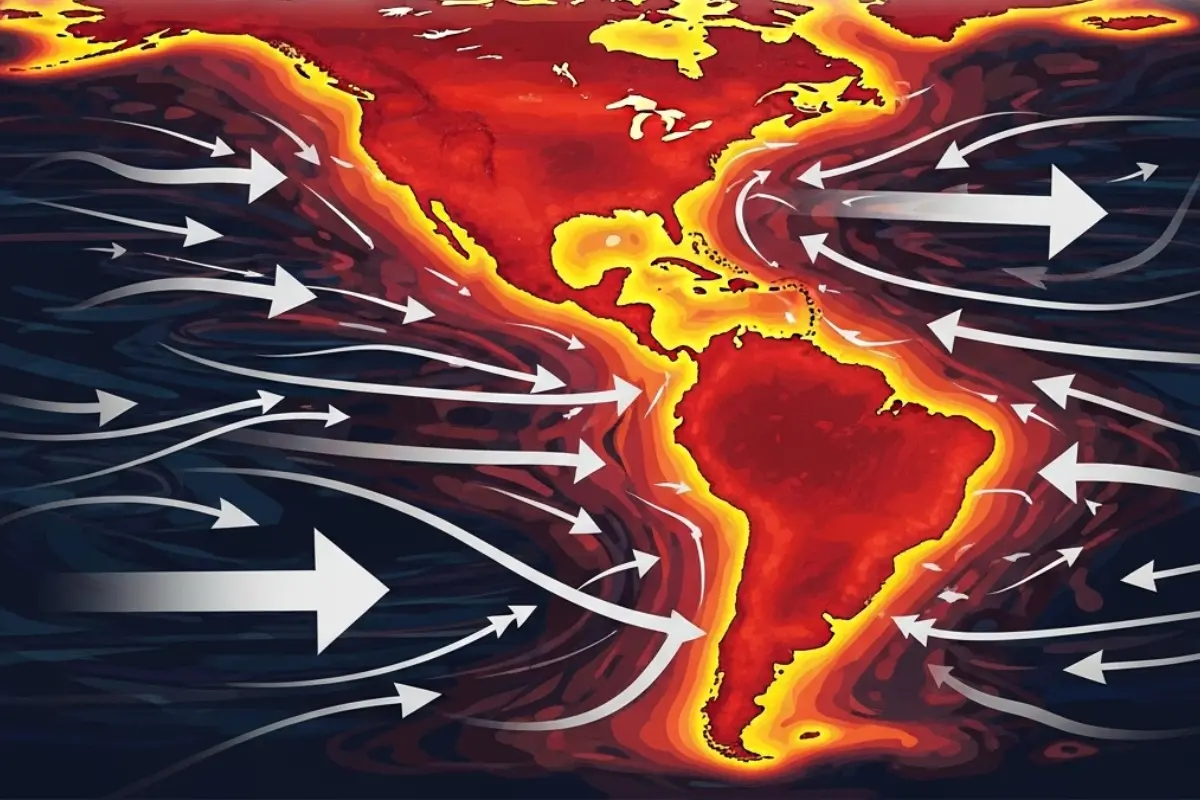
El Niño is a natural climate pattern in which sea surface temperatures in the central and eastern Pacific Ocean become warmer than normal. It typically occurs every two to seven years and lasts for about nine to twelve months.
This warming disrupts global weather systems, affecting rainfall, temperature and storm patterns across different regions of the world.
What is a ‘super El Niño’?
A “super El Niño” refers to an unusually strong version of this phenomenon, where ocean temperatures rise more than 2°C above average. These events are rare and tend to have more intense and widespread impacts on global weather.
Only a few such strong events have been recorded in recent decades, and they are often linked to major climate disruptions.
Why scientists are concerned in 2026
Current climate models suggest a strong chance that El Niño could develop by mid-2026 and intensify later in the year. Some forecasts indicate it could become one of the strongest events seen this century.
Scientists say that when combined with ongoing global warming, this could significantly raise global temperatures.
One major concern is the possibility of global temperatures temporarily exceeding the 1.5°C threshold above pre-industrial levels. This limit is considered critical because crossing it increases the risk of severe climate impacts.
Some projections even suggest a small chance that temperatures could briefly approach or exceed 2°C, which would be highly unusual.
How it could change global weather
A strong El Niño can shift weather patterns across the globe. It often brings hotter and drier conditions to parts of Asia, Australia and Africa, increasing the risk of droughts and wildfires.
At the same time, it can cause heavier rainfall in regions such as the Americas and parts of South Asia, raising the risk of floods. It also affects storm activity, usually reducing hurricanes in the Atlantic but increasing them in the Pacific.
Impact on India and monsoon
For India, El Niño is often linked to weaker monsoon rainfall. This can affect agriculture, water supply and overall economic activity, especially in regions dependent on seasonal rains.
Experts are already warning that the upcoming monsoon could be below normal if the event strengthens.
Previous strong El Niño events, such as those in 1997–98 and 2015–16, caused widespread disruption. These included severe droughts in parts of Asia and Africa, crop losses, water shortages and extreme storms in other regions.
Uncertainty still remains
Despite strong signals, scientists caution that early forecasts can change. Climate systems are complex, and the intensity and impact of El Niño can vary.
However, experts say the current risk is high enough to require close monitoring and preparation.
With global temperatures already rising due to climate change, a strong El Niño could act as an additional driver of extreme weather. This makes it important for governments and communities to prepare for possible impacts in the months ahead.