US trade representative deletes X post after map shows PoK and Aksai Chin as part of India
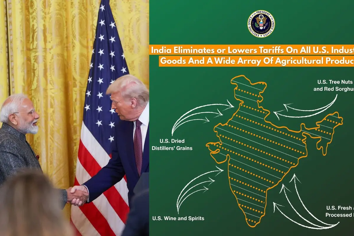
New York/Washington: The office of the US Trade Representative (USTR) has removed a social media post that displayed a map of India including the entire region of Jammu and Kashmir, as well as Aksai Chin, as part of Indian territory.
Last week, as the United States and India announced the details of a bilateral interim trade agreement framework, the USTR posted information about the deal on the social media platform X. The accompanying map depicted India with Jammu and Kashmir – including Pakistan-occupied Kashmir (PoK) – and the Aksai Chin region, which is claimed by China, within its borders.
Aksai Chin
Aksai Chin is a disputed territory that is currently administered by China. It lies mainly in the Xinjiang region (covering parts of He’an County and Hekang County in Hotan Prefecture) and also extends into Tibet (in Rutog County of Ngari Prefecture). The area forms the easternmost section of the broader Kashmir region, which has been contested between India and China since 1959.
The specific post featuring the map has since been deleted from the USTR’s X account.
ALSO READ | India has begun reducing Russian oil imports, ramping up American energy purchases: USTR
In previous instances, maps released by the USTR have typically shown the PoK and Aksai Chin with a demarcated line, indicating their disputed status. The map in the now-deleted post, however, portrayed these areas as fully integrated into India.
India has repeatedly maintained that the entire Union Territory of Jammu and Kashmir is an integral and inalienable part of the country. New Delhi also claims Aksai Chin as part of Indian territory based on historical arguments and past treaties.
The issue comes amid broader regional tensions over territorial claims. China’s standard map has previously included disputed areas such as Arunachal Pradesh, Aksai Chin, Taiwan and parts of the South China Sea within its borders.
ALSO READ | Transparency index: Survey flags erosion in democracies’ integrity; US dips, India ranks below China
The map controversy emerged as India and the US announced on Friday that they had reached a framework for the first phase of a bilateral trade agreement, under which both countries would reduce import duties on a range of goods to boost two-way trade.
(PTI)