Typhoon Dolphin's distant influence partly driving torrential rain in Kerala: Report
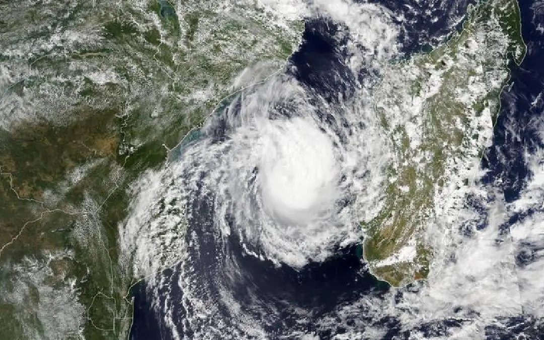
Thiruvananthapuram: Torrential rainfall continuing across Kerala is being driven partially by the distant influence of Typhoon Dolphin in the Pacific Ocean, meteorologists have reported.
The powerful system is expected to make landfall in mainland China by Saturday. Weather officials anticipate that as the storm dissipates over land, the intense rainfall gripping Kerala will begin to subside. A second atmospheric disturbance, Typhoon Kujra, is also currently active near the Philippines.
Typhoons function as vast systems of extraordinarily low pressure, acting as atmospheric vacuums that draw in surrounding air masses. As moisture-laden winds from the Arabian Sea are pulled eastwards towards the storm center in the Pacific, they sweep across the Kerala coastline and collide with the Western Ghats mountain range, triggering widespread deluge.
Typhoon Dolphin has proven to be an unusually severe storm. Having initially formed on July 27, it rapidly escalated into a Super Typhoon by July 29, recording sustained wind speeds reaching 165 km/h (102 mph).
The monsoon downpours are further amplified by several localised atmospheric triggers directly affecting the subcontinent. According to forecasters, active cyclonic circulations are currently hovering over southern Karnataka, southern Tamil Nadu and Puducherry, as well as the south-eastern Bay of Bengal.
The India Meteorological Department (IMD) predicts that rainfall across Kerala should begin to ease from Sunday onwards as these combined weather systems weaken.