3 routes, 160 kmph target: Railways draws up plans for new tracks in Kerala
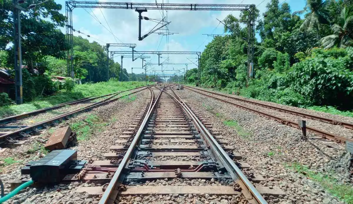
Payyannur, Kerala: Three route designs are being prepared for additional railway lines between Shoranur and Mangaluru, with the aim of enabling trains to run at speeds of up to 160 kmph.
According to the details of the proposed designs, the 307-km Shoranur-Mangaluru route is being examined through three options — a parallel alignment alongside the existing railway, a parallel alignment retaining existing curves with speed restrictions, and a greenfield alignment.
The route is divided into three sections: Shoranur-Kozhikode (86.6 km), Kozhikode-Kannur (89 km) and Kannur-Mangaluru (131 km).
The alignments would pass on either the eastern or western side of existing stations and tracks at different locations. In some sections, the proposed lines would be farther from the existing railway, requiring additional land acquisition. However, the total route kilometres in each section would remain the same.
A key feature of the parallel and greenfield options is that some station locations would change.
Parallel alignment
Under one parallel alignment, at least 13 stations are being considered along the Shoranur-Mangaluru route. The proposed stops are Shoranur, Pallippuram, Tirunavaya, Vallikkunnu, Kozhikode, Koyilandy, Mukkali, Kannur, Payyanur, Kanhangad, Kasaragod, Uppala and Mangaluru.
The third and fourth tracks would run on the western side of Shoranur Junction. The alignment would cross the Bharathapuzha at two locations between Karakkad and Pattambi. At one point, the proposed line would be about 950 metres from Pattambi station.
After reaching Kodumunda Halt, the alignment would move towards the eastern side. It would run parallel to the existing railway on the eastern side through Pallippuram, Kuttippuram, Tirunavaya, Tirur, Tanur and up to Parappanangadi. The line would cross the national highway at Tirur.
After Parappanangadi, the alignment would shift to the western side and continue towards Vallikkunnu, Kadalundi, Feroke, Kallayi and Kozhikode station.
From Kozhikode, the proposed tracks would initially run on the western side. After West Hill, the alignment would enter through the station area and move towards the eastern side.
Beyond Elathur station and the petroleum plant, the line would move to the western side near Chemancheri. At Chemancheri, the proposed alignment would maintain a distance from the national highway.
The alignment would pass through Koyilandy, Vellarakad, Thikkodi, Payyoli, Iringal, Vadakara, Nadapuram, Mukkali, Mahe and Jagannatha Temple before reaching Thalassery.
Between Vadakara and Nadapuram, the proposed line would cross the national highway. Between Mahe and Jagannatha Temple, it would maintain a distance of around 470 metres from the existing railway line.
The route would then pass through Thalassery, Dharmadam, Edakkad and Kannur South before entering the existing Kannur line from the western side and moving towards the eastern side.
The 14-km stretch from Kannur to Kannapuram would run parallel on the eastern side of the stations. Between Kannapuram, Pazhayangadi and Ezhimala, the proposed alignment would be up to 375 metres away from the stations.
From Ezhimala, the line would run parallel to the eastern side through Payyanur, Trikkarippur and Cheruvathur. After Cheruvathur station, it would shift to the western side.
The alignment would then pass through Nileshwaram, Kanhangad, Bekal and Kottikulam on the western side. After Kottikulam, it would shift eastwards because of a state road and continue parallel up to Kalanad. Beyond Kalanad, it would move back to the western side.
The line would then pass through Kasaragod, Kumbla, Uppala, Manjeshwaram and Ullal before entering Mangaluru.
Alignment with speed restrictions
A second design would retain the existing curves while running parallel to the present railway line. This would mean lower speeds at several stretches.
The proposed stops under this design are Shoranur, Pallippuram, Tirunavaya, Kadalundi, Kozhikode, Koyilandy, Mahe, Kannur, Payyanur, Kanhangad, Kasaragod, Uppala and Mangaluru.
The proposed speed limits vary across sections. The Karakkad-Pattambi and Pallippuram-Perassannur stretches would have a proposed speed of 110 kmph, while Kuttippuram-Tirunavaya would have speeds ranging from 100 to 130 kmph.
The Kallayi-Kozhikode section would have a proposed speed of 30 kmph. West Hill-Elathur would allow 105 kmph, while Vellarakad-Thikkodi would have a limit of 130 kmph.
The Iringal-Vadakara stretch would have speeds between 110 and 130 kmph. Mukkali-Mahe-Jagannatha Temple would have speeds ranging from 130 to 110 kmph.
The proposed speed would be 100 kmph at Thalassery, 130 kmph at Dharmadam, 110 kmph at Edakkad and 100 kmph at Kannur South. At Kannur, where the line changes, the proposed speed would be 30 kmph.
Further north, the proposed speed would be 130 kmph at Valapattanam and on the Kannapuram-Pazhayangadi and Payyanur stretches. At Cheruvathur, the track-change section would have a proposed speed of 30 kmph.
The Bekal section would have a proposed speed of 130 kmph, while the track-change sections between Kottikulam-Kalanad and Kalanad-Kasaragod would have a limit of 30 kmph.
The Kasaragod-Kumbla stretch would have a proposed speed of 120 kmph, while Manjeshwaram-Ullal would have a proposed speed of 130 kmph.
Greenfield alignment
The third design is a greenfield alignment, which would largely follow a new route rather than remain immediately alongside the existing railway.
The proposed stops are Shoranur, Tirunavaya, Tanur, Kozhikode, Koyilandy, Mukkali, Kannur, Trikkarippur, Kanhangad, Kasaragod, Uppala and Mangaluru.
From Shoranur Junction, the third and fourth tracks would run on the western side. The alignment would cross the Bharathapuzha and pass through Karakkad.
In these sections, the proposed tracks would be up to 2,000 metres from the existing railway line. The alignment would cross the Bharathapuzha again without touching Pattambi station.
It would then cross the existing line at Kodumunda before moving towards the eastern side. From Pallippuram, the tracks would run parallel on the eastern side.
Between Perassannur and Kuttippuram, the proposed alignment would be around 500 to 1,900 metres from the existing railway line.
Between Tirur and Tanur-Parappanangadi, the new line would be up to 1,200 metres away from the existing tracks over a stretch of about 11 km.
The alignment would move to the western side around Vallikkunnu. Between Vallikkunnu and Kadalundi, it would be up to 475 metres away from the existing railway line.
It would then run parallel on the western side through Kadalundi, Feroke, Kallayi and Kozhikode.
From Kozhikode, the proposed line would run on the western side, passing West Hill and Elathur. Due to the presence of the petroleum plant, the alignment would maintain a distance of around 430 metres from Elathur station.
The line would then pass through Chemancheri, Koyilandy, Payyoli and Vadakara. It would cross the national highway between Vadakara and Nadapuram.
After Mukkali, the alignment would maintain a distance of around 470 metres from the existing railway line near Mahe. It would then pass through Mahe, Thalassery and Kannur South before entering the Kannur station line from the western side and moving towards the eastern side.
From Kannur, the proposed line would run east of the station. After Kannapuram, it would remain on the eastern side, reaching up to 1,530 metres away from the existing railway line before Ezhimala.
The route would then pass through Payyanur and Trikkarippur. It would bypass Cheruvathur station and, while approaching National Highway 66, would be around 460 metres from the existing railway line.
After Cheruvathur, the proposed track would cross the existing line and shift to the western side. It would then run towards Nileshwaram, Bekal, Kottikulam and Kasaragod before passing through Kumbla and Manjeshwaram and entering Mangaluru.