NISAR launch today: What to know about US-India satellite watching Earth’s surface
Washington: A cutting-edge radar satellite jointly developed by the United States and India is all set for liftoff on Wednesday, aimed at monitoring subtle shifts in Earth’s land and ice surfaces. The data it collects will help scientists better predict both natural and human-driven hazards.
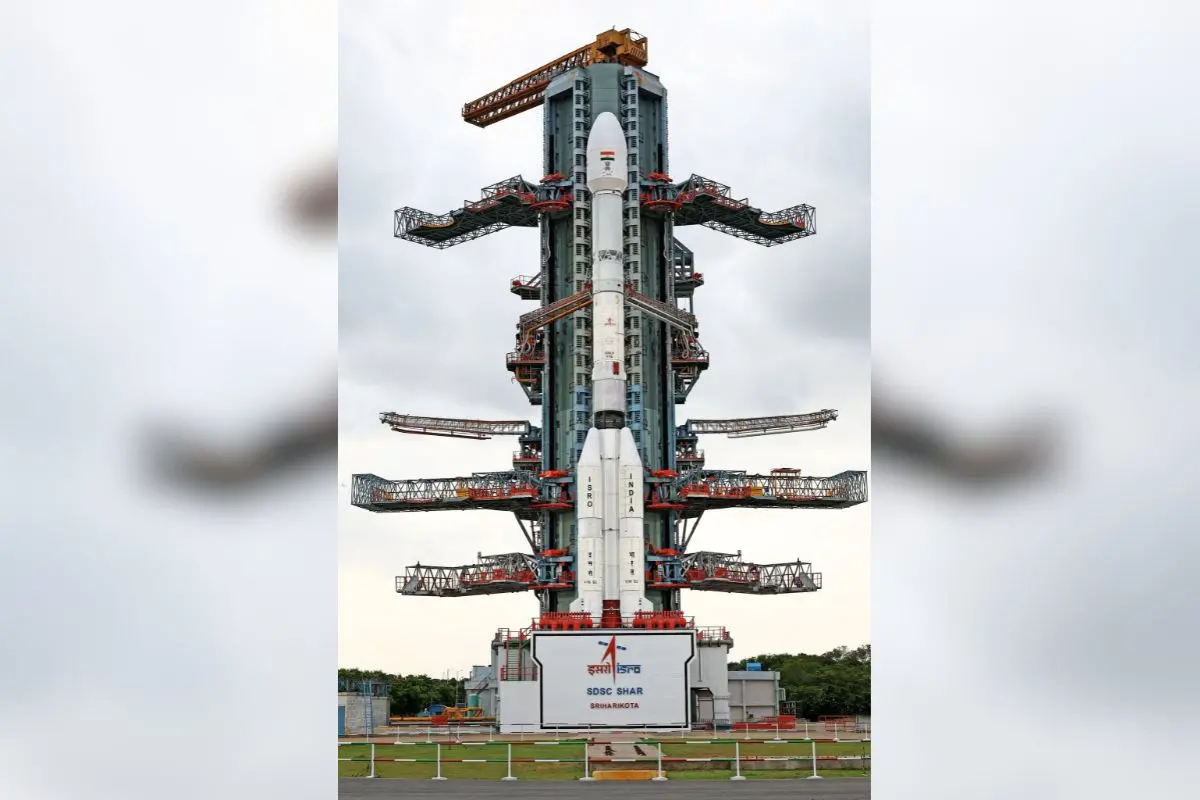
Named NISAR (short for NASA-ISRO Synthetic Aperture Radar), the truck-sized satellite is slated to launch at 5.40 pm IST (1210 GMT) from the Satish Dhawan Space Centre on India's southeastern coast. It will ride aboard an ISRO Geosynchronous Satellite Launch Vehicle (GSLV).
Celebrated by researchers and space enthusiasts alike, the mission also represents a major chapter in US-India space collaboration, developed during the administrations of President Donald Trump and Prime Minister Narendra Modi.
"Our planet surface undergoes constant and meaningful change," said Karen St Germain, director of NASA's Earth Science Division, during a press briefing. "Some change happens slowly. Some happens abruptly. Some changes are large, while some are subtle."
NISAR will detect vertical shifts in the Earth's surface as small as one centimetre, enabling scientists to identify early indicators of disasters such as earthquakes, landslides, volcanic activity and even the deterioration of man-made structures like bridges and dams.
"We'll see land substance and swelling, movement, deformation and melting of mountain glaciers and ice sheets covering both Greenland and Antarctica, and of course, we'll see wildfires," added St Germain, describing NISAR as "the most sophisticated radar we've ever built."
The satellite is equipped with a 12-meter deployable antenna and will orbit the planet at an altitude of 747 kilometers (464 miles). It will revisit and scan nearly the entire Earth’s land and ice masses twice every 12 days.
NISAR uses microwaves to continuously scan Earth’s surface, capturing echoes that reflect changes over time. Due to the satellite’s motion, those signals will be distorted, but through computer processing, they’ll be reconstructed into high-resolution radar images.
Achieving this level of detail with traditional radar would require an antenna roughly 12 miles wide, which is practically impossible — making NISAR’s design a groundbreaking alternative.
The satellite operates on two radar frequencies:
- L-band, ideal for detecting taller vegetation like trees, and
- S-band, which is more accurate for shorter plant structures like shrubs and bushes.
This joint NASA-ISRO effort saw both agencies take responsibility for different parts of the spacecraft. Hardware was developed on opposite sides of the globe and later integrated at ISRO’s Satellite Integration and Testing Establishment (ISITE) in Bengaluru.
The mission’s financial contributions reflect the scale of collaboration — NASA invested nearly $1.2 billion, while ISRO's share stood at around $90 million.
India’s space sector has achieved remarkable milestones in recent years, including its successful Mars Orbiter Mission in 2014 and a robotic landing on the Moon in 2023.
In another leap, Shubhanshu Shukla, a test pilot from the Indian Air Force, became the second Indian in space and the first to visit the International Space Station, paving the way for India’s upcoming crewed mission, scheduled for 2027 under the Gaganyaan programme.
AFP